
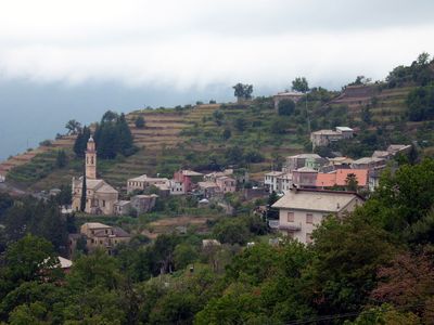
Orero, Italian comune
Location: Metropolitan City of Genoa
Elevation above the sea: 438 m
Shares border with: Cicagna, Coreglia Ligure, Lorsica, San Colombano Certenoli, Rezzoaglio
Website: http://comune.orero.ge.it
GPS coordinates: 44.40684,9.27415
Latest update: March 5, 2025 13:45
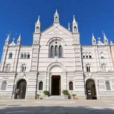
Sanctuary of Our Lady of Montallegro
4.4 km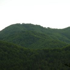
Monte Caucaso
6.7 km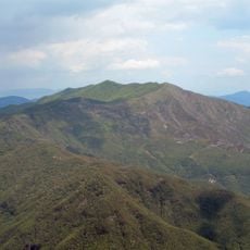
Monte Ramaceto
4.7 km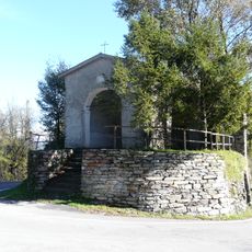
Passo della Crocetta
3.6 km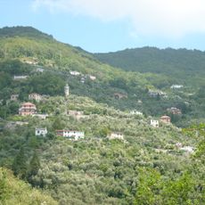
San Maurizio (Rapallo)
4.3 km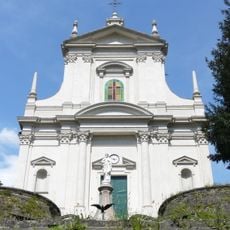
Sacro Cuore di Gesù
5.6 km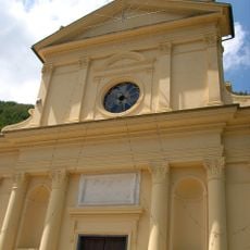
San Giacomo Church
3.2 km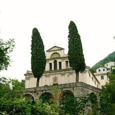
Nostra Signora del Rosario
5.1 km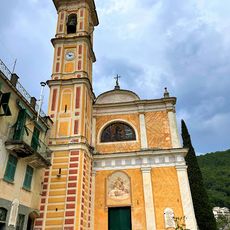
Sant'Ambrogio Church
533 m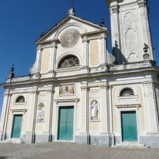
Santa Maria Assunta
3.7 km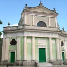
San Nicolò
2.2 km
Santo Stefano
3.9 km
Sant'Andrea
2.6 km
Chiesa di San Bernardo
4.2 km
San Bartolomeo
5.2 km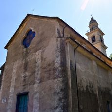
San Martino Church
2.7 km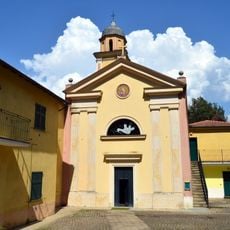
San Giovanni Battista
7.4 km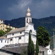
Nostra Signora Annunziata
2.8 km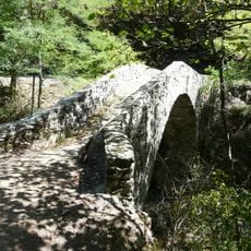
Ponte di Celesia
5.8 km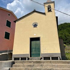
Sant'Antonio Abate (Croce d'Orero, Orero)
1.9 km
Sant’Anna Church
5.1 km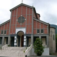
Nostra Signora dei Miracoli
3.1 km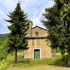
San Rocco (Pian Megorino, Orero)
1.3 km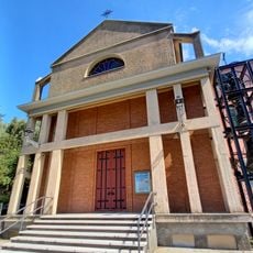
Sacro Cuore di Gesù
4.7 km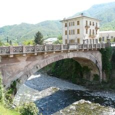
Ponte della Vittoria
3 km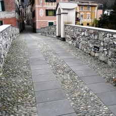
Ponte dei Fieschi
3.1 km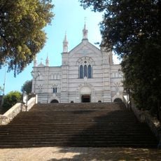
Leccio
4.5 km
Chiesa di Santi Nazario e Celso
2.5 kmVisited this place? Tap the stars to rate it and share your experience / photos with the community! Try now! You can cancel it anytime.
Discover hidden gems everywhere you go!
From secret cafés to breathtaking viewpoints, skip the crowded tourist spots and find places that match your style. Our app makes it easy with voice search, smart filtering, route optimization, and insider tips from travelers worldwide. Download now for the complete mobile experience.

A unique approach to discovering new places❞
— Le Figaro
All the places worth exploring❞
— France Info
A tailor-made excursion in just a few clicks❞
— 20 Minutes