Medicina, Rural commune in Metropolitan City of Bologna, Italy.
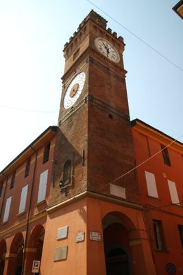
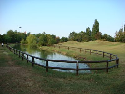
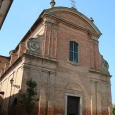
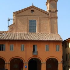
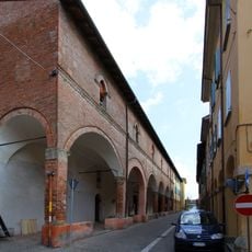
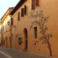
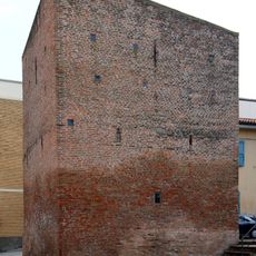
Medicina is a rural commune in the eastern part of the Metropolitan City of Bologna that stretches across flat terrain. The core comprises a handful of streets with low buildings, while surrounding fields occupy most of the commune territory.
Medieval documents first mention this place in the year 855, while finds from the Bronze and Iron Ages point to even older settlement. Over the centuries the area changed hands several times between local noble families and church institutions.
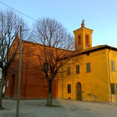
The name of this place may derive from the Latin word for middle, as it sits halfway between Bologna and Ferrara. Visitors encounter many farms and small vineyards around the core that work the land using old methods.
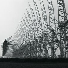
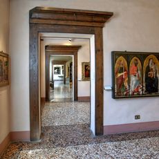
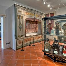
A visit works best in spring and autumn, when the fields are freshly planted or harvested and the flat land allows wide views. The museum and the radio telescope visitor center both lie within short distance from the town core and can be reached on foot.
Local farmers grow three protected varieties of onions in gold, white, and red here, each bringing its own flavor notes. These onions are sold in surrounding markets and used in regional dishes.
Location: Metropolitan City of Bologna
Elevation above the sea: 25 m
Shares border with: Argenta, Budrio, Castel Guelfo di Bologna, Castel San Pietro Terme, Imola, Molinella, Ozzano dell'Emilia
Website: http://comune.medicina.bo.it
GPS coordinates: 44.48333,11.63333
Latest update: December 13, 2025 19:38
Medicina Radio Observatory
4.3 km
Church of San Mamante (Medicina)
878 m
Chiesa di San Lorenzo
9.9 km
Chiesa di Sant'Agata
9.7 km
Teatro Consorziale
9.8 km
Pinacoteca Domenico Inzaghi, Budrio
9.8 km
Chiesa di Santa Maria in Garda
2.2 km
San Domenico del Rosario
9.7 km
Biotopi e Ripristini ambientali di Medicina e Molinella
10 km
Museo dei burattini di Budrio
9.8 km
Museo dell'ocarina
9.7 km
Palazzo Municipale
9.8 km
Villa Maria
789 m
Chiesa dell'Assunta
1 km
Chiesa di Santa Croce e San Michele di Portonovo
11 km
Chiesa di Santa Maria di Villa Fontana
2.2 km
Torre dell'Orologio
862 m
Chiesa di Santa Maria Annunziata
9.3 km
Chiesa e convento della Corla
11.4 km
Torrione Nord-Ovest
10 km
Chiesa di San Salvatore di Mingarano
6.4 km
Il Roccolo
10.6 km
Villa Coralupi
2.2 km
Partecipanza Agraria di Villa Fontana
2.2 km
Villa Pasi
1.1 km
Chiesa di Santa Maria Annunziata
6.6 km
Pozzo Venturoli
900 m
Palazzo della Comunità
913 mVisited this place? Tap the stars to rate it and share your experience / photos with the community! Try now! You can cancel it anytime.
Discover hidden gems everywhere you go!
From secret cafés to breathtaking viewpoints, skip the crowded tourist spots and find places that match your style. Our app makes it easy with voice search, smart filtering, route optimization, and insider tips from travelers worldwide. Download now for the complete mobile experience.
A unique approach to discovering new places❞
— Le Figaro
All the places worth exploring❞
— France Info
A tailor-made excursion in just a few clicks❞
— 20 Minutes