San Benedetto Val di Sambro, Italian comune
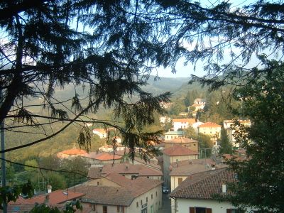
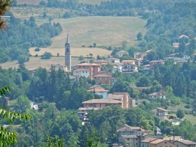
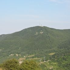
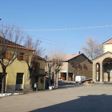
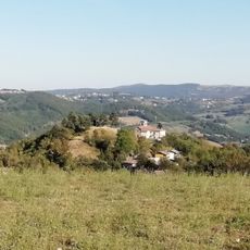
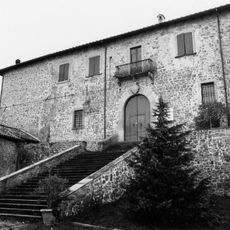
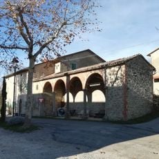
San Benedetto Val di Sambro is a small commune in the hills of the Bologna area in northern Italy, surrounded by green forests and open fields with narrow winding streets through the old town center. The territory stretches between the valleys of Setta, Lambro, and Savena with elevations reaching over 3,000 feet (1,000 meters), and shows signs of rural life throughout, including old farmhouses, some still used for farming and others preserved as part of the town's heritage.
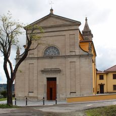
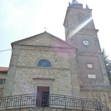
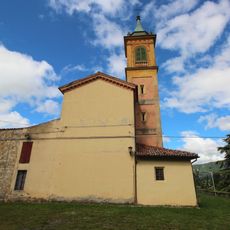
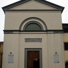
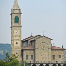
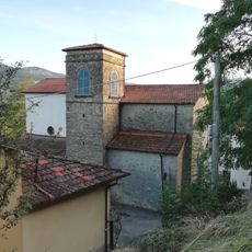
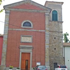
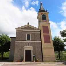
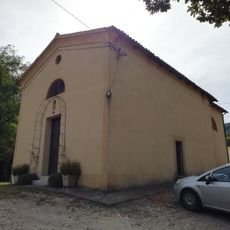
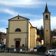
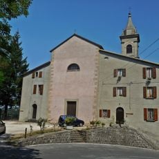
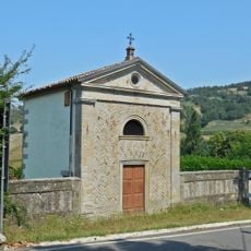
San Benedetto developed over many centuries from a small settlement on a trade route connecting different parts of the region, growing into a place where farmers and tradespeople lived and worked. The town's rise is linked to Benedictine monks who settled here in the medieval period and shaped the religious history that still echoes in its preserved structures today.
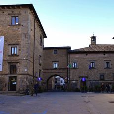
San Benedetto Val di Sambro takes its name from Benedictine monks who settled here in the medieval period and built a small church that still stands today. The buildings are constructed from local stone, giving the town a sturdy, rustic appearance, while residents gather in small groups at local cafes and the town square, keeping local traditions and ways of life alive.
The location offers well-maintained trails through surrounding forests and valleys suitable for both short walks and longer hikes. Visitors should allow time to explore the various small villages and historic buildings on foot, particularly the narrow lanes in Qualto and Cà Musolesi, which are best accessed by walking through their stone-paved streets and steep alleys.
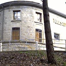
A wind-powered sculpture called an organ was installed in Monte Galletto park in 2024 and creates sounds when wind passes through it. This surprising element combines contemporary creativity with the quiet natural surroundings, offering visitors an unexpected artistic experience within the mountainous landscape.
The community of curious travelers
AroundUs brings together thousands of curated places, local tips, and hidden gems, enriched daily by 60,000 contributors worldwide.