Fai della Paganella, Italian comune
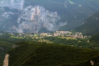
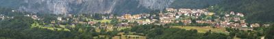
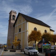
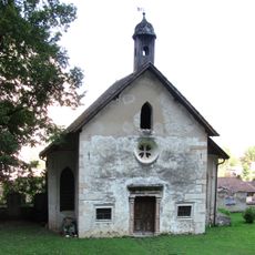
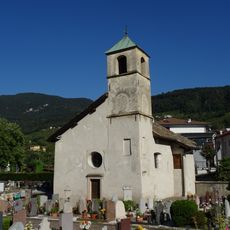
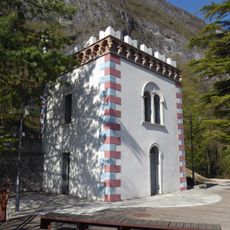
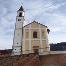
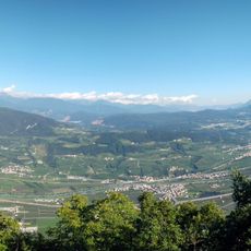
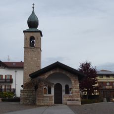
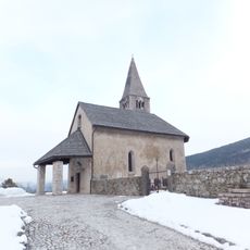
Fai della Paganella is a small mountain commune in Trentino, Italy, sitting on a high plateau and looking out over the wide Piana Rotaliana valley below. The village is made up of stone buildings and traditional farmhouses arranged along the natural slope of the hillside.
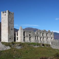
The area shows signs of settlement from the Reti culture and Bronze Age peoples, making it one of the older inhabited spots in the region. During the medieval period it grew from a farming community into a place that helped control the movement of goods through the surrounding valleys.
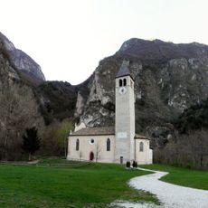
The name Fai likely comes from the local word for beech trees, which still grow in large numbers on the slopes around the village. These woods shape the look of the area and are something a visitor immediately notices when walking the nearby paths.
The village is easy to reach by car from the Adige valley along a well-marked road that does not involve steep climbing. Those arriving by train can use stations at Mezzolombardo or Mezzocorona and then continue by bus or taxi.
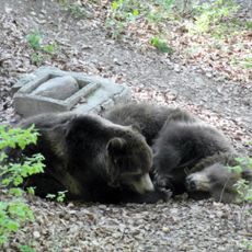
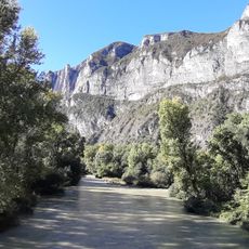
Brown bears have been spotted in the woods around the village, a sign that wild animals are slowly returning to this part of the mountains. This rare situation, where large wildlife moves through land so close to a lived-in place, is something few mountain villages in the region can say.
The community of curious travelers
AroundUs brings together thousands of curated places, local tips, and hidden gems, enriched daily by 60,000 contributors worldwide.