Enable Location

We need your location to show you interesting places around you

Discover nearby places

Find interesting locations and hidden gems around you

Precise directions

Get accurate directions and distances to places

Your location is never shared with other users. It's only used when you tap the location button.

Montan an der Weinstraße

Log in to your account

Start exploring — it's free

Trusted by 65,100 travelers worldwide

Continue with Google
Continue with Apple
or

We will send you a code to connect

By continuing, you accept our Terms and Conditions and our Privacy Policy

Check your inbox

We've sent a pincode in your inbox. Please enter the code below.

Montan an der Weinstraße
Discussion Reviews 1 Photos
17k Popularity

Montan an der Weinstraße, municipality in South Tyrol, Italy

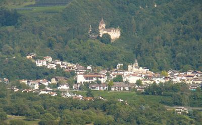
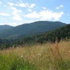
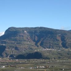
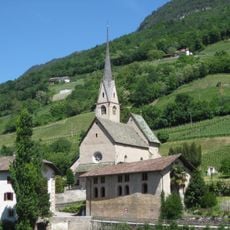
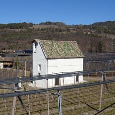
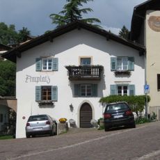
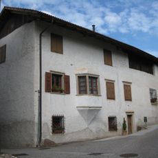
Montan an der Weinstraße is a small commune in South Tyrol situated on a hillside overlooking the Adige Valley and surrounded by vineyards and green fields. The settlement consists of several villages spread across different elevations between roughly 400 and 1,000 meters (1,300 to 3,300 feet), connected by narrow streets.

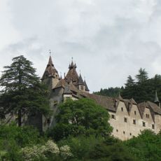
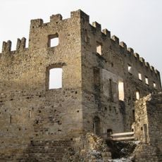
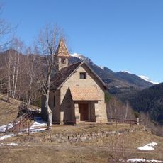
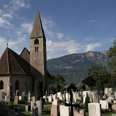
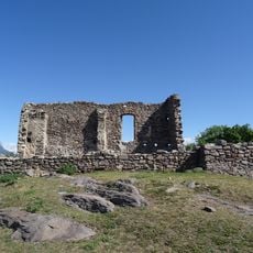
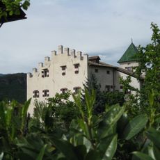
The area was inhabited by early populations in pre-Roman times, as evidenced by ancient place names and archaeological remains such as the Castelfeder ruins. During the Middle Ages, this region became part of the Tyrolean domain and was overseen by feudal lords who built fortifications including Castello d'Enna.

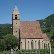
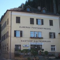
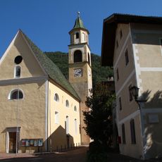
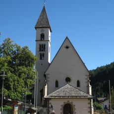
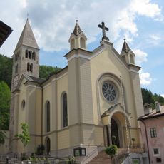
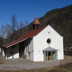
The village takes its name from Saint Bartholomew, whose feast day on August 24th brings church services and local gatherings to the community. Winemaking traditions remain central to daily life, with small cellars and shops inviting visitors to taste locally produced wines and regional food.

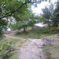
The village is easily accessible by car or bus from larger cities like Bolzano, with narrow winding roads offering fine views of the valley and mountains. Hikers and cyclists will find many paths through the countryside, some following an old railway line from World War I.

A notable hiking trail follows the route of an old railway line from World War I that once climbed the hillsides here. This historic route is now a popular path for walking and cycling with views over the vineyards and valley below.

The community of curious travelers

AroundUs brings together thousands of curated places, local tips, and hidden gems, enriched daily by 60,000 contributors worldwide.

Start exploring
Location
Elevation above the sea
497 m
Shares border with
Neumarkt, Auer, Aldein, Capriana, Salorno sulla Strada del Vino, Tramin an der Weinstraße, Truden im Naturpark
GPS coordinates
46.33033,11.30027
Latest update
February 17, 2026 01:20
Reviews
Share your experience

No review yet

Discussions
Start a discussion...

No discussion yet

« Montan an der Weinstraße - municipality in South Tyrol, Italy » is provided by Around Us (aroundus.com). Images and texts are derived from Wikimedia project under a Creative Commons license. You are allowed to copy, distribute, and modify copies of this page, under the conditions set by the license, as long as this note is clearly visible.

Discover hidden gems everywhere you go!

From secret cafés to breathtaking viewpoints, skip the crowded tourist spots and find places that match your style. Our app makes it easy with voice search, smart filtering, route optimization, and insider tips from travelers worldwide. Download now for the complete mobile experience.

Around Us App Screenshot

A unique approach to discovering new places

Le Figaro

All the places worth exploring

France Info

A tailor-made excursion in just a few clicks

20 Minutes

Around Us
Travel Guide & Maps
Download

Send to your phone

QR Code
1

Open the camera app on your mobile.

2

Point at the QR code with your camera. A notification will appear.

3

Tap the notification to open the link.