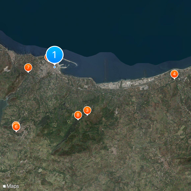
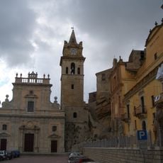
Termini Imerese, Coastal commune in Sicily, Italy
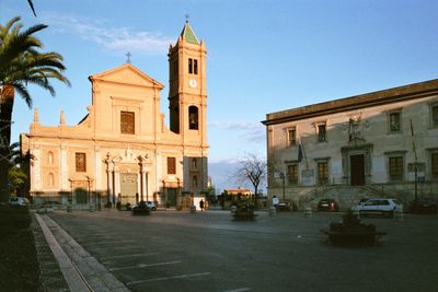
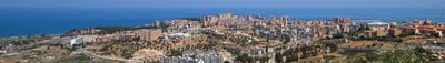
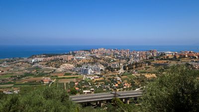
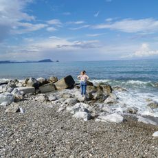
Termini Imerese is a coastal town on Sicily's northern shore, shaped by natural thermal springs and situated at an elevation of 77 meters (250 feet) above sea level. The town has three highway exits and a central railway station that connect it to other parts of Sicily.
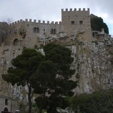
This settlement arose after the ancient Greek city of Himera was destroyed by Carthaginian forces in 409 BCE, when people resettled at this location. The Romans later transformed the area into a major thermal bathing center.
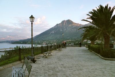
The thermal baths here represent a living tradition of using natural hot springs that stretches back to Roman times and continues to define the town's character. Visitors can see how these warm waters remain central to local life and wellness practices.
The town is easily reached through three highway exits on the A19 and has a central railway station with good connections to Palermo and other Sicilian destinations. The waterfront areas are freely accessible to visitors, and the town center is compact enough to explore on foot.
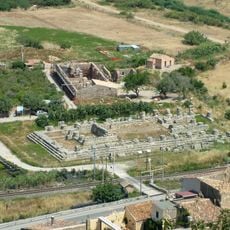
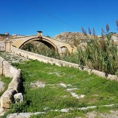
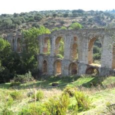
A substantial Roman aqueduct with a striking double-arch bridge remains Sicily's largest preserved water system and once carried water from eastern forest springs to the town. This structure showcases Roman engineering skill and is noteworthy for visitors interested in ancient infrastructure.
Location: Metropolitan City of Palermo
Capital city: Termini Imerese
Elevation above the sea: 77 m
Shares border with: Caccamo, Campofelice di Roccella, Cerda, Collesano, Trabia, Sciara
Website: http://comuneterminiimerese.pa.it
GPS coordinates: 37.98333,13.70000
Latest update: December 6, 2025 21:22
Castello di Caccamo
6.7 km
Grotte della Gurfa
26.5 km
Villa Spedalotto
18.9 km
Monte San Calogero
5.3 km
Temple of Victory
10.9 km
Terme Arabe
20.8 km
Duomo di San Nicola di Bari
508 m
Villa Filangeri
18.8 km
Santa Maria Maddalena
15.3 km
Mother Church of Saint George martyr
6.8 km
Torre delle Mandre
10.1 km
Villa Sperlinga (Santa Flavia)
17.4 km
San Pietro cathedral
22 km
Riserva naturale orientata Bosco di Favara e Bosco Granza
18.2 km
Riserva naturale orientata Monte San Calogero
5.2 km
Biblioteca Comunale Liciniana
596 m
Santissima Annunziata
6.6 km
San Giovanni Battista
15.4 km
San Francesco d'Assisi
15.4 km
Santuario Santa Maria delle Grazie
22.9 km
Caves Gurfa
26.6 km
Museo Vincenzo Florio
13.1 km
Spiaggia Villaggio Tedeschi
9.9 km
San Leonardo bridge
1.8 km
Aqueduct Cornelio
2 km
Maria Santissima Immacolata
13.5 km
Archaeological museum of Himera
11 km
Collesano Castle
21.9 kmReviews
Visited this place? Tap the stars to rate it and share your experience / photos with the community! Try now! You can cancel it anytime.
Discover hidden gems everywhere you go!
From secret cafés to breathtaking viewpoints, skip the crowded tourist spots and find places that match your style. Our app makes it easy with voice search, smart filtering, route optimization, and insider tips from travelers worldwide. Download now for the complete mobile experience.
A unique approach to discovering new places❞
— Le Figaro
All the places worth exploring❞
— France Info
A tailor-made excursion in just a few clicks❞
— 20 Minutes