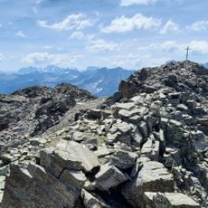
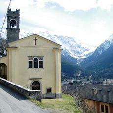
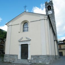
Corno dei Tre Signori, Alpine summit in Peio, Italy
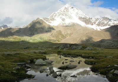
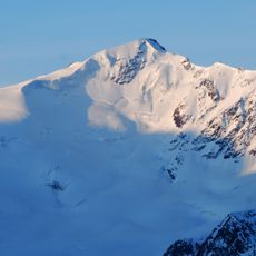
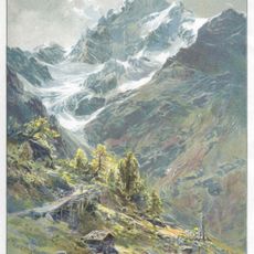
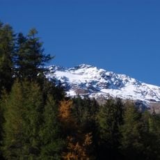
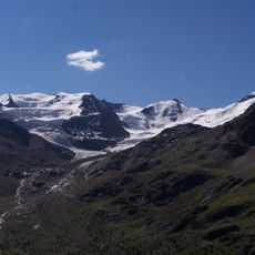
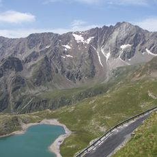
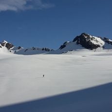
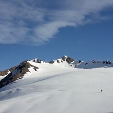
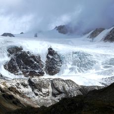
Corno dei Tre Signori rises to 3,360 meters in the Ortler Alps and marks the natural division between Val Camonica, Valfurva, and Val di Pejo valleys. The peak features sharp rock formations and snowfields that define its alpine structure.
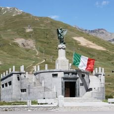
For centuries, the peak served as a boundary between the Republic of Venice, the Grisons confederation, and the Bishopric of Trento until territorial changes in the 18th century. This position made it a crucial geographic reference in a region divided by political powers.
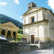
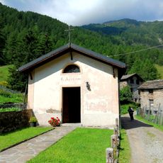
The name refers to its position where three valleys meet, a geographic identity that shaped the regions around it for centuries. Today, the peak remains a landmark that defines the mountain landscape and local pride in the surrounding communities.
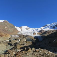
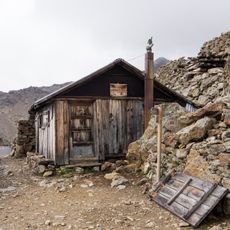
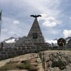
Reaching the summit requires advanced mountaineering skills and can be approached from multiple starting points including Peio, Valfurva, or Ponte di Legno. Each route demands technical climbing ability and good fitness, with weather changing rapidly at this elevation.
The peak is the source of two major Italian rivers, the Oglio and the Noce, which flow through surrounding valleys and supply water to local communities. This hydrological role makes it an invisible but vital point in the landscape.
The community of curious travelers
AroundUs brings together thousands of curated places, local tips, and hidden gems, enriched daily by 60,000 contributors worldwide.