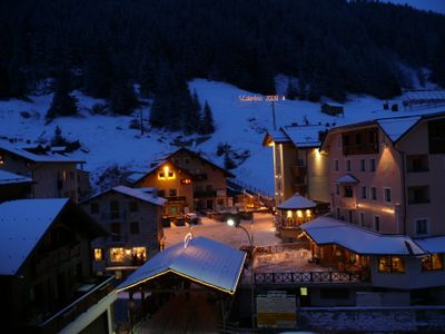
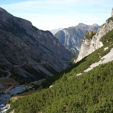
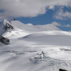
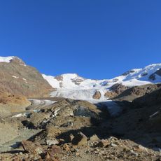
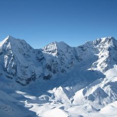
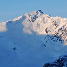
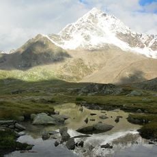
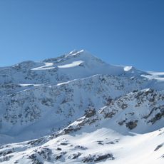
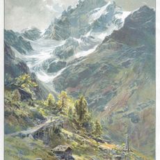
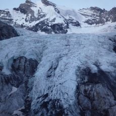
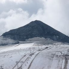
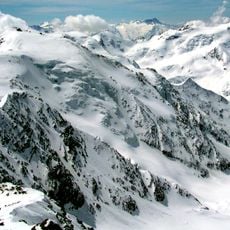
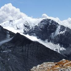
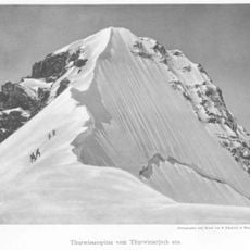
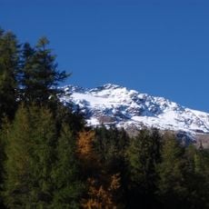
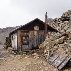
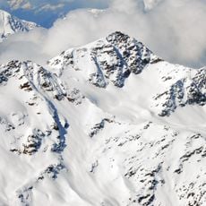
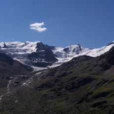
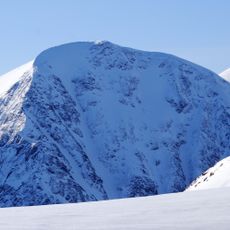
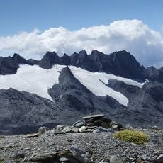
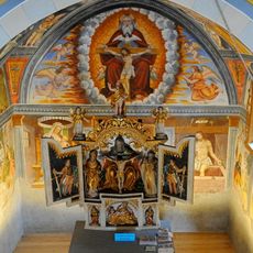
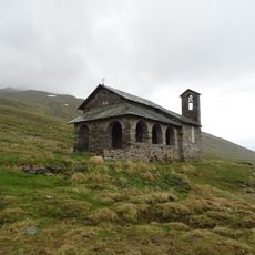
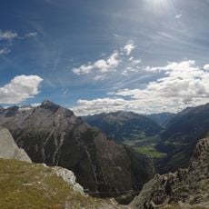
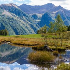
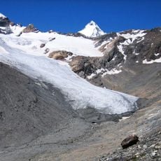
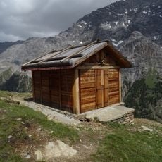
Valfurva, Italian comune
Location: Province of Sondrio
Elevation above the sea: 1,800 m
Shares border with: Bormio, Peio, Ponte di Legno, Stilfs, Valdisotto, Martell, Sondalo
Website: https://comune.valfurva.so.it
GPS coordinates: 46.46260,10.41179
Latest update: April 12, 2025 11:21
Stelvio National Park
7.2 km
Monte Cevedale
15.8 km
Ghiacciaio dei Forni
7.2 km
Monte Zebrù
11.1 km
Punta San Matteo
15.2 km
Corno dei Tre Signori
15.5 km
Cevedale II
16.2 km
Pizzo Tresero
12.9 km
Hochjochbiwak
11.1 km
Trafoier Eiswand
8.8 km
Geisterspitze
6.3 km
Palon de la Mare
16.6 km
Hohe Schneide
5.3 km
Thurwieserspitze
9.4 km
Sforzellina Glacier
15.1 km
Monte Sobretta
7.5 km
Bivacco Battaglione skiatori monte Ortles
15.4 km
Monte Confinale
7.3 km
Punta Taviela
17.7 km
Monte Pasquale
14.7 km
Monte Vallecetta
5.7 km
Cresta di Réit
2.5 km
Santissima Trinità (Valfurva)
576 m
Alpine church
13.3 km
Alta Val del Monte
17.4 km
Langenferner Glacier / Verdretta Lunga
16.1 km
Nuovo bivacco Costantini
4.9 km
Cima di Réit
3.9 kmReviews
Visited this place? Tap the stars to rate it and share your experience / photos with the community! Try now! You can cancel it anytime.
Discover hidden gems everywhere you go!
From secret cafés to breathtaking viewpoints, skip the crowded tourist spots and find places that match your style. Our app makes it easy with voice search, smart filtering, route optimization, and insider tips from travelers worldwide. Download now for the complete mobile experience.
A unique approach to discovering new places❞
— Le Figaro
All the places worth exploring❞
— France Info
A tailor-made excursion in just a few clicks❞
— 20 Minutes