Monte Buceto, Mountain summit in Tuscany, Italy
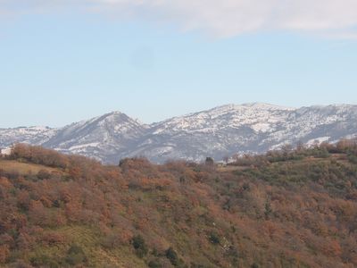
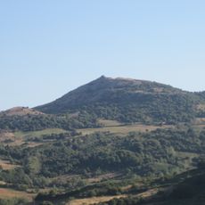
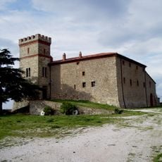
Monte Buceto is a mountain summit in the Province of Grosseto that rises to approximately 1,152 meters and forms part of the Amiata range. The peak sits between valleys and hills, with forests and farmed landscapes covering its slopes.
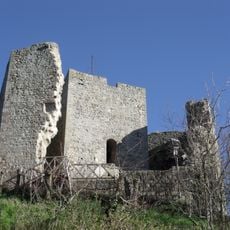
The peak served as a geographical boundary between different valley regions since ancient times, helping to define territorial divisions across the landscape. This border function shaped human settlement and land use in the surrounding area over many centuries.
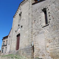
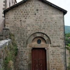
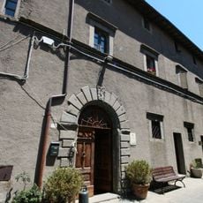
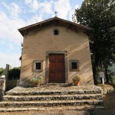
The area around this summit has long been shaped by chestnut and wine cultivation that sustained local communities for generations. Visitors can still see these farming traditions reflected in the forests and vineyards covering the surrounding slopes.
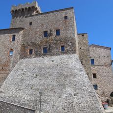
The summit is accessible on foot via hiking trails that depart from the nearby town of Arcidosso and offer clear starting points. Visitors can choose different routes depending on their direction and fitness level, with some passing through forests and others opening views of the surrounding valleys.
The southeastern slopes lead to the source of the Albegna River, marking an important water divide in the region that shaped settlement patterns over time. This hydrological feature made the location historically significant for communities dependent on access to these water sources.
The community of curious travelers
AroundUs brings together thousands of curated places, local tips, and hidden gems, enriched daily by 60,000 contributors worldwide.