Monte Sirente, Mountain summit in Province of L'Aquila, Italy
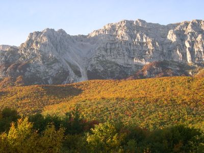
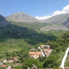
Monte Sirente is the highest peak of a mountain chain stretching 13 kilometers through the Marsica region at 2,349 meters in elevation. The ridge forms a continuous system with steep sections and gentler slopes that vary significantly along its length.
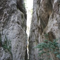
During the last Pleistocene glaciation, glaciers carved deep gorges on the northern side, shaping the mountain chain as we see it today. These ice-age processes left behind the dramatic topography that defines this landscape.
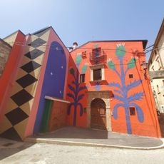
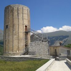
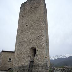
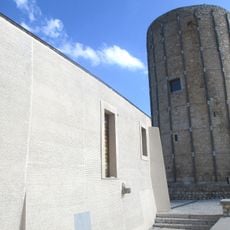
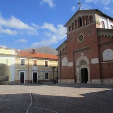
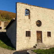
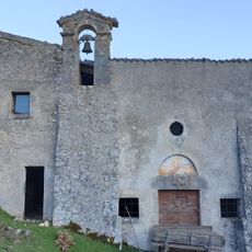
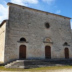
The mountain sits within the Sirente-Velino Regional Park, where local communities show their connection to the landscape through everyday mountain life. You can see this relationship between people and nature reflected in how the surrounding area is used and cared for.
Multiple marked hiking trails lead to the summit, with spring and early autumn providing the best conditions for mountain activities. Weather tends to be more stable during these seasons, and visibility is generally clearer.
The southern slope descends gradually toward the Fucino plain, creating a sharp contrast with the steep northern face carved by ancient glaciers. This difference between the two sides makes the varied geological history of the mountain clearly visible.
The community of curious travelers
AroundUs brings together thousands of curated places, local tips, and hidden gems, enriched daily by 60,000 contributors worldwide.