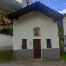
Becca di Luseney, Mountain summit in Aosta Valley, Italy
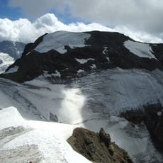
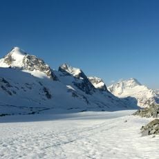
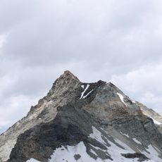
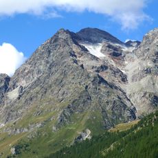
Becca di Luseney is a 3,504-metre summit in the Pennine Alps of Aosta Valley, Italy. It has a pyramidal profile on all four sides, and a glacier covers its north face. The mountain sits on the watershed between the Valpelline, Valtournenche and Saint-Barthélemy valleys.
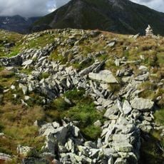
The first recorded ascent of Becca di Luseney was made in 1866. On 8 June 1952 a mass of debris broke loose from the west-southwest face between 2,900 and 3,200 metres, killing four men and burying the hamlet of Chamin in Valpelline. A chapel now stands where Chamin was, and the scar of the landslide is still visible on the mountain's flank.
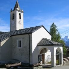
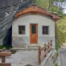
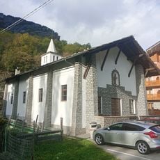
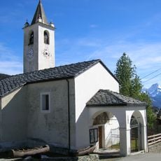
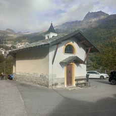
A chapel stands at the former location of Chamain village to commemorate the four individuals who perished during the 1952 rockfall disaster.
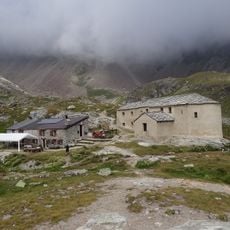
Two approach lines exist. From the Vallone di Saint-Barthélemy the route crosses the whole valley via the Reboulaz bivouac. From Valpelline, a path climbs past the old Praz-de-Dieu alpeggi and the Luseney glacier to the Colle di Luseney (3,162 m), then follows rock steps and glacial remnants to the top; the Chentre-Bionaz bivouac, opened in 2010 by the Bionaz municipality, serves as a support point.
The mountain ranks fourteenth among 1,186 peaks in Aosta Valley, with a prominence of 646 meters and an isolation distance of 7.24 kilometers.
The community of curious travelers
AroundUs brings together thousands of curated places, local tips, and hidden gems, enriched daily by 94,230 contributors worldwide.