Aouille Tseuque, Alpine summit on the Swiss-Italian border, Valais
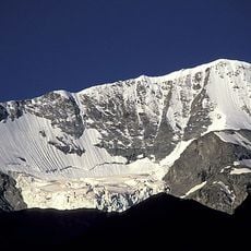
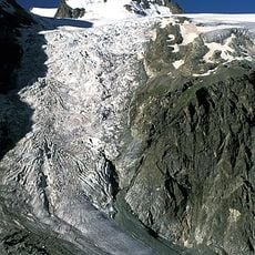
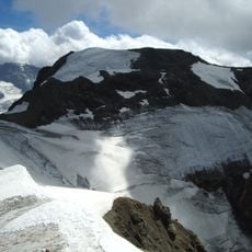
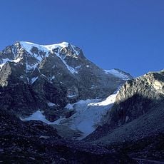
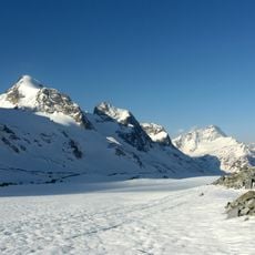
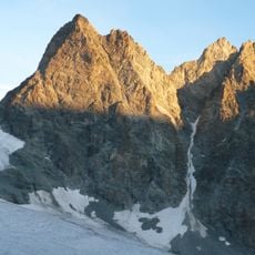
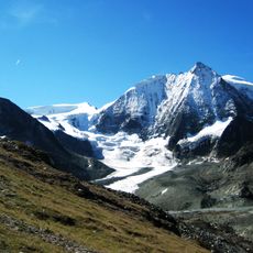
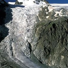
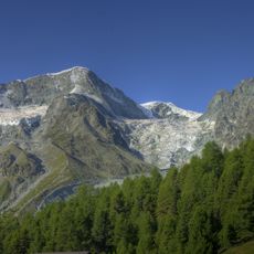
Aouille Tseuque is an Alpine summit rising to 3,554 meters at the border between Switzerland and Italy. The mountain features steep rocky slopes and a northern face that overlooks the expansive Otemma Glacier.
The sources record no historical events, border treaties or dates for Aouille Tseuque; its documented interest is cartographic and glacial. At 3,554 m it sits on the Swiss-Italian border between the Valais and the Valle d'Aosta, on the flank of the Otemma Glacier, and its patois name meaning "dry peak" is the only historical trace the sources give.
The name comes from Valdostan patois and means "dry peak", equivalent to the French aiguille sèche. The mountain lies on the border between the Aosta Valley and the Canton of Valais, and the normal route from the Swiss side starts at the Cabane des Vignettes, passes the Col de Chermontane at 3,037 m and crosses the Otemma and Blanchen glaciers.
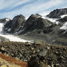
The usual route starts from the Cabane des Vignettes, climbs to the Col de Chermontane at 3,037 m, then descends the Otemma Glacier beneath the ridges of La Sengla. It continues up the Blanchen Glacier past the Refuge de l'Aiguillette before gaining the north-east ridge to the summit. Glacier travel and crevasse rescue gear are needed throughout.
The name comes from Valdostan patois and means "dry peak", equivalent to the French "aiguille sèche". The summit stands at 3,554 metres in the Gelé-Collon chain of the Pennine Alps, on the border between the Aosta Valley and the Canton of Valais.
The community of curious travelers
AroundUs brings together thousands of curated places, local tips, and hidden gems, enriched daily by 94,225 contributors worldwide.