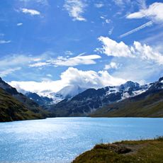
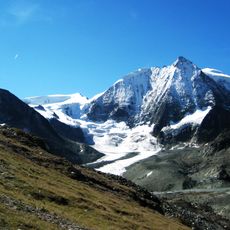
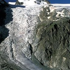
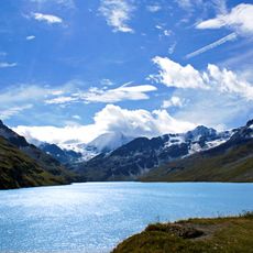
Giétro Glacier, Valley glacier in Valais, Switzerland
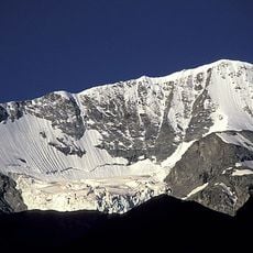
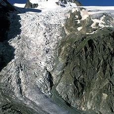
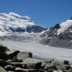
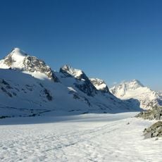
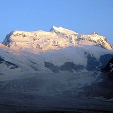
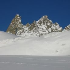
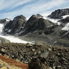
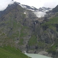
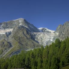
Giétro Glacier is a 4.45 km valley glacier on the northern side of the Pennine Alps in Valais, in the upper Bagnes valley south of Martigny and Verbier. It is fed by snows from Mont Blanc de Cheilon (3,870 m) and La Ruinette (3,875 m), flows north along Mont Rouge du Giétro, then curves west between Le Pleureur and Mont Rouge. Its lower kilometre drops at 40%, cut by many crevasses, and ends at about 2,750 m above Lake Mauvoisin.
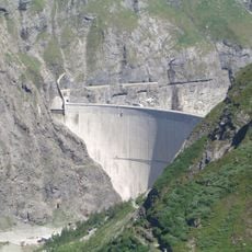
During the Little Ice Age the glacier reached down to where the Mauvoisin dam now stands, damming the Dranse and forming lakes whose sudden breakouts were called canonnades du Giétroz. A flood on 25 May 1595 killed 140 people and destroyed some 500 houses. In 1818 the lake measured 3.5 km long and 60 m deep; engineer Ignaz Venetz had a 198 m tunnel drilled through the ice, but the ice dam gave way on 16 June at 16:30, releasing 20 million m³ and killing 34 to 44 people. Nineteenth-century geologists treated the event as a founding case of glaciology.
The name comes from the Valais dialect word giétro (or giétroz, pronounced "dzyètre"), from Latin jacitum, meaning a chalet or shelter; the same root gave jetty, giète and zite. Locals also called the 1818 outburst an "avallo".
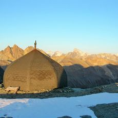
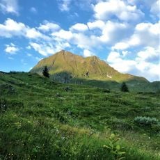
Reaching the glacier requires mountain hiking and proper gear, as the terrain is steep and conditions can change quickly. Summer months offer the safest and clearest views of the ice, though visitors should be prepared for sudden weather shifts.
The name Giétro comes from the Valais dialect word for a chalet or shelter, from Latin jacitum, and is pronounced "dzyètre" locally. The 1818 outburst was called an "avallo" by valley residents speaking their patois. Nineteenth-century geologists drew on the disaster and the studies it prompted as founding material for glaciology.
The community of curious travelers
AroundUs brings together thousands of curated places, local tips, and hidden gems, enriched daily by 94,450 contributors worldwide.