Rosablanche, Mountain summit in Pennine Alps, Switzerland
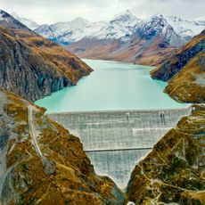
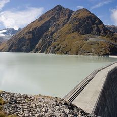
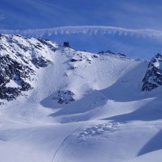
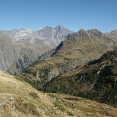
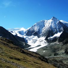
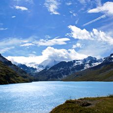
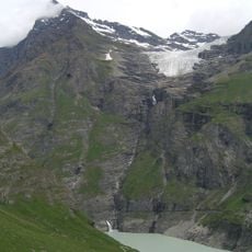
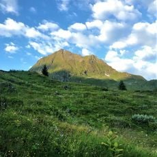
Rosablanche is a mountain summit in the Valais Alps with an elevation of 3336 meters and marks the boundary between the Hérémence and Dix valleys. The peak sits on a high plateau surrounded by glaciers and rock faces.
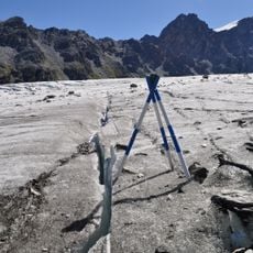
The mountain was first measured in 1891, but surveys in 1915 showed the summit had dropped 21 meters. These shifts forced surveyors to abandon its importance as a measurement point in 1962.
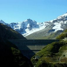
The mountain serves as a reference point in Swiss mountaineering traditions and connects the Grand Désert and Prafleuri glaciers in the Valais Alps region.
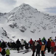
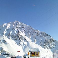
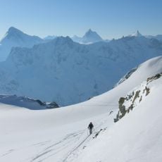
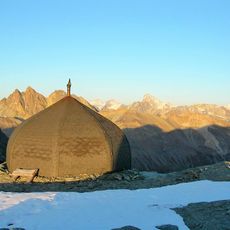
The best route starts from the Prafleuri mountain hut at 2660 meters, where a marked trail crosses glacier fields to the summit. The climb is only feasible during summer months when glacier crossings are safe.
The mountain is a rare global example of measurable summit collapse caused by glacier melting and attracts scientists studying climate change impacts on alpine structures. This geological quirk makes it an unexpected research subject alongside its value as a climbing destination.
The community of curious travelers
AroundUs brings together thousands of curated places, local tips, and hidden gems, enriched daily by 60,000 contributors worldwide.