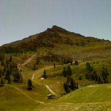
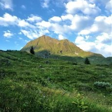
Mont Fort, Mountain summit in Valais, Switzerland
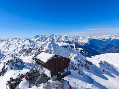
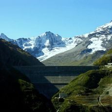
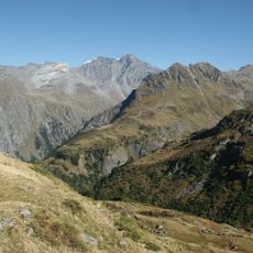
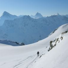
Mont Fort is a mountain summit in the Swiss Alps with an elevation of 3,328 meters (10,918 feet). The peak sits between two glacier systems and is accessible via separate cable car routes that originate from nearby valleys.
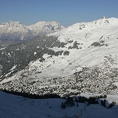
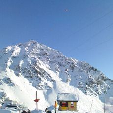
The mountain became accessible to broader audiences through the development of cable car infrastructure over several decades. These transportation systems connected previously isolated ski areas and created new routes across the alpine landscape.
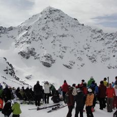
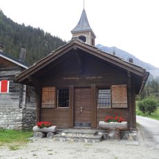
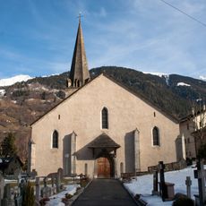
The mountain serves as a hub connecting different valleys and communities through shared winter sports activities. Local people and visitors use this landmark to navigate between distinct ski areas and experience the interconnected mountain landscape.
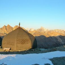
Visitors can reach the peak using cable cars from two different valleys that meet at intermediate stations on the way up. Check weather and seasonal conditions before visiting, as alpine access can be affected by wind and snow throughout the year.
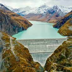
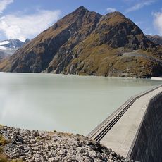
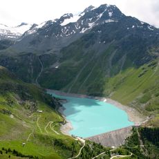
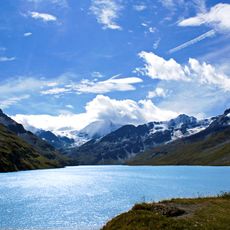
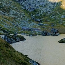
A small mountain lake sits on the southern side below the main peak at around 2,764 meters in elevation. This quiet water body provides an unexpected contrast to the rocky terrain surrounding it and offers a different perspective of the alpine setting.
The community of curious travelers
AroundUs brings together thousands of curated places, local tips, and hidden gems, enriched daily by 60,000 contributors worldwide.