
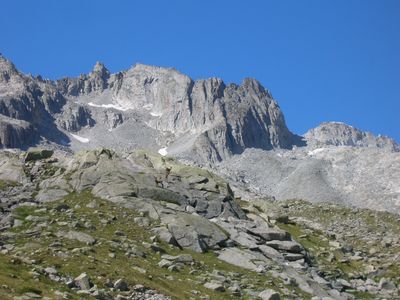
Aiguille de Nardis, mountain in Italy
Location: Trentino
Elevation above the sea: 3,289 m
GPS coordinates: 46.20488,10.65592
Latest update: March 13, 2025 16:51
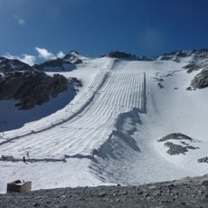
Presena Glacier
6.1 km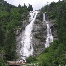
Cascate Nardis
6 km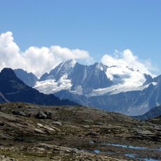
Presanella
1.8 km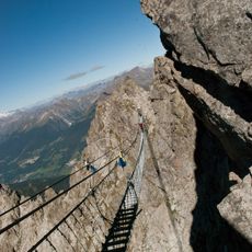
Flower Trail
7.4 km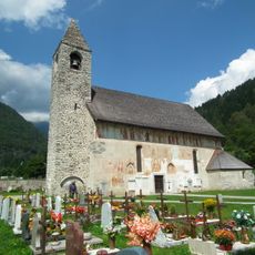
Saint Vigilius church
9.5 km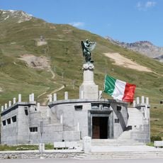
Sacrario militare del Tonale
8.2 km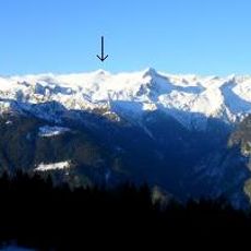
Corno di Cavento
9.4 km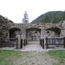
Werk Strino
8.4 km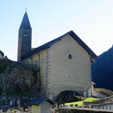
Saint Stephen church
7.9 km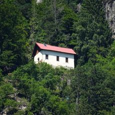
Saint Martin hermitage
7.2 km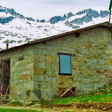
Bivacco Roberti
3.4 km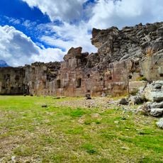
Werk Tonale
8.7 km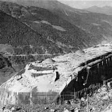
Forte Presanella
6.5 km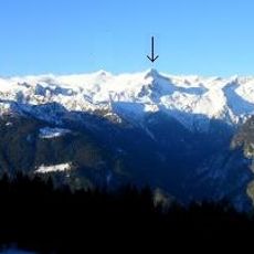
Crozzon di Lares
8 km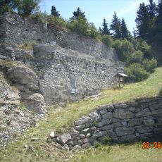
Forte Corno d'Aola
8.9 km
Forte Mero
8.2 km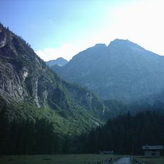
Lobbia alta
7.8 km
Paradiso
7.6 km
Saint Julian church
7.4 km
Old Saint Bartholomew church
8.6 km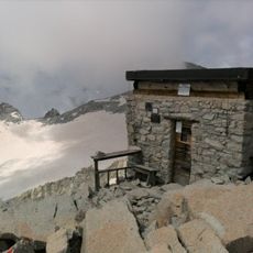
Bivacco Cima Presanella “Brigata Orobica”
1.6 km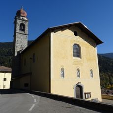
Saint Nicholas church
9 km
Monte Ospedale
7.6 km
Corno di Lago Scuro
6.9 km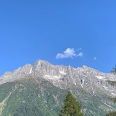
Punta di Castellaccio
7.6 km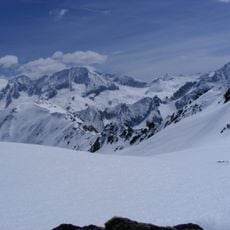
Cima Busazza
4.1 km
Our Lady of Help church
8.3 km
Forte Mero
8.2 kmReviews
Visited this place? Tap the stars to rate it and share your experience / photos with the community! Try now! You can cancel it anytime.
Discover hidden gems everywhere you go!
From secret cafés to breathtaking viewpoints, skip the crowded tourist spots and find places that match your style. Our app makes it easy with voice search, smart filtering, route optimization, and insider tips from travelers worldwide. Download now for the complete mobile experience.

A unique approach to discovering new places❞
— Le Figaro
All the places worth exploring❞
— France Info
A tailor-made excursion in just a few clicks❞
— 20 Minutes