Grabspitze, Mountain summit in South Tyrol, Italy.
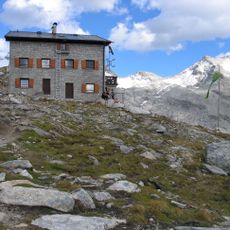
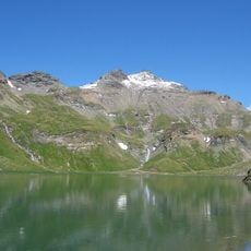
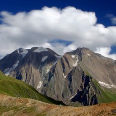
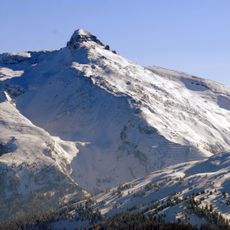
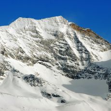
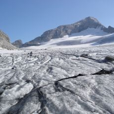
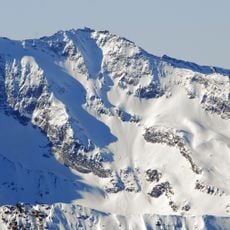
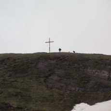
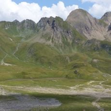
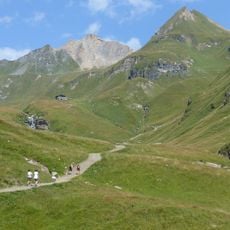
Grabspitze (Italian: Cima Grava) is a 3,059 m peak in the Pfunderer Mountains, a subrange of the Zillertal Alps in South Tyrol. It is the second highest summit of the group after the Wilde Kreuzspitze (3,135 m). A cross stands on the summit, visible from the basin at about 2,600 m on the ascent route.
The Grabspitze was formerly also called Hochferner, a name derived from a firn field that lay on the side of the summit flank. The main name goes back to the dialect word grōb ("grey"), making the peak a "grey peak". The mountain is the second highest in the Pfunderer Mountains after the Wilde Kreuzspitze (3,135 m).
The peak has two names in local use: Grabspitze in German and Cima Grava in Italian, showing how the region's communities identify their landscape. Local people recognize it by whichever name matches their language and heritage.
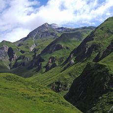
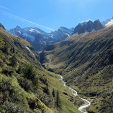
The easiest ascent starts at Platz (1,435 m) in the Pfitscher Tal, passes the hamlet of Überwasser and climbs steeply through forest to a basin at about 2,600 m, where the summit cross comes into view. The route then reaches the west ridge at roughly 2,780 m; the ridge is exposed in places. Allow four to five hours. The path is mostly waymarked, but at several stream crossings the original route is no longer recognisable after high water.
The easiest ascent starts at Platz (1,435 m) in the Pfitscher Tal, passes the hamlet of Überwasser and climbs steeply through forest to a basin at about 2,600 m, where the summit cross comes into view. The route then reaches a notch on the west arête at roughly 2,780 m; the last metres run along the southern flank into a shallow ridge hollow before gaining the top from the north. The climb takes four to five hours, and the path is mostly waymarked, though at several stream crossings high water has erased the original route.
The community of curious travelers
AroundUs brings together thousands of curated places, local tips, and hidden gems, enriched daily by 93,534 contributors worldwide.