Herbétet, Mountain summit in Aosta Valley, Italy
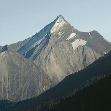
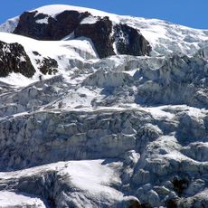
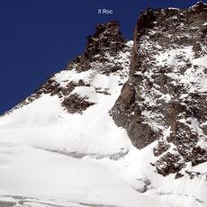
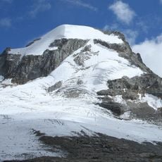
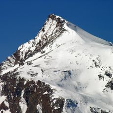
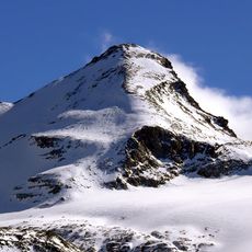
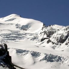
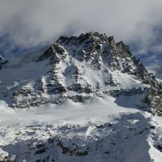
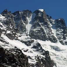
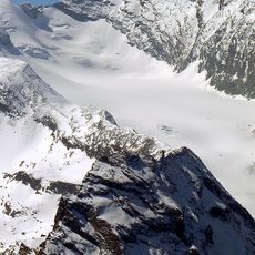
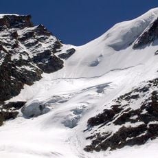
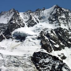
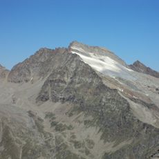
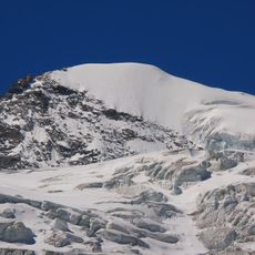
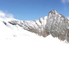
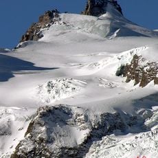
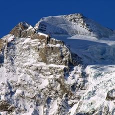
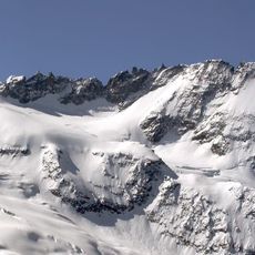
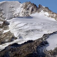
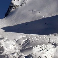
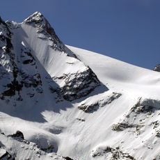
Herbétet is a peak in the Gran Paradiso massif located in the Aosta Valley, standing at 3,778 meters above sea level. The mountain features multiple glaciers spread across different aspects of its slopes.
The sources document no first ascent for Herbétet; the 1873 climb by L. Barale is not recorded in them. The mountain's recorded history is cartographic: it appears on the Italian official Istituto Geografico Militare maps and on the Istituto Geografico Centrale sheets 1:50,000 no. 3 (Gran Paradiso National Park) and 1:25,000 no. 101 (Gran Paradiso, La Grivola, Cogne).
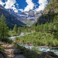
The peak rises on the watershed between the Cogne and Valsavarenche valleys, both within Gran Paradiso National Park. Its name is pronounced "erbetè" in French, the language of the Aosta Valley. Climbers traditionally start from the Vittorio Emanuele II refuge (2,732 m) or the Federico Chabod refuge (2,750 m).
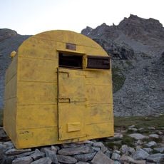
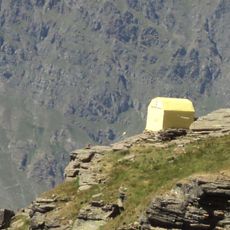
Climbers can begin their ascent from either Cogne or Valsavarenche village, with different routes suited to various skill levels. A mountain shelter provides accommodation and rest stops for mountaineers during their climb.
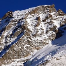
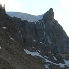
The perfectly pyramidal north face, partly covered by the remains of the Herbétet glacier, cannot be seen from any side valley; it is visible only from the summits of Gran Serra (3,552 m) or Grivola (3,969 m). The north-west face drops almost 500 metres onto the Grand Neyron glacier.
The community of curious travelers
AroundUs brings together thousands of curated places, local tips, and hidden gems, enriched daily by 94,556 contributors worldwide.