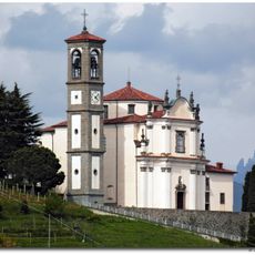
Isola Bergamasca, Historical territory in western Bergamo province, Italy.
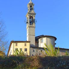
Isola Bergamasca is a territory wedged between the Brembo and Adda rivers in western Bergamo province, defined by its triangular shape. The region stretches across 21 municipalities, with Monte Canto marking its northern edge and shaping the landscape.
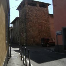
This territory has roots in Roman times, when it was called Pagus Fortunensis and served as a crucial junction for trade and military routes. Over the centuries, it developed into the inhabited and cultivated landscape you see today between the two rivers.
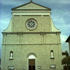
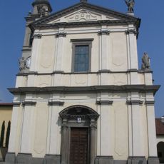
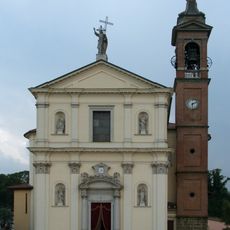
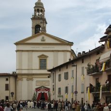
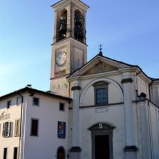
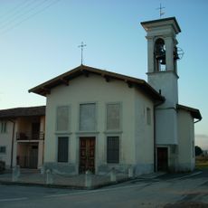
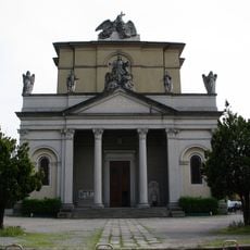
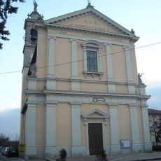
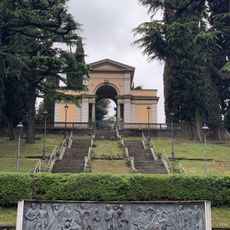
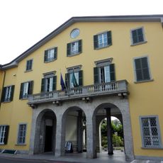
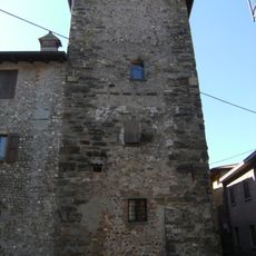
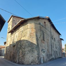
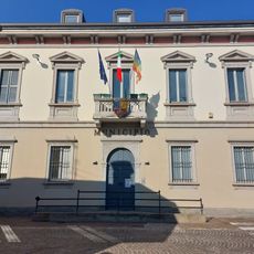
Each of the 21 towns here has its own local traditions and community celebrations that shape how people spend their time. You can see these customs reflected in how squares are used and in the rhythms of daily life across the different villages.
The area is well served by the A4 motorway, provincial roads, and railway lines, with Ponte San Pietro station providing a key entry point. You will find good transport connections that make it easy to move between the different towns.
The name 'Isola' comes from the geographic isolation created by the two rivers flanking the territory, a defining feature often overlooked by visitors. This river-bound position paradoxically led to the area's transformation from economically disadvantaged to becoming an industrial hub.
The community of curious travelers
AroundUs brings together thousands of curated places, local tips, and hidden gems, enriched daily by 60,000 contributors worldwide.