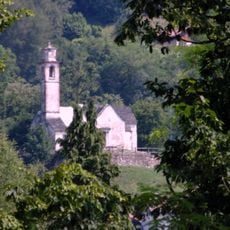
Monte Dolada, Mountain summit in Venetian Prealps, Italy.
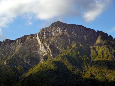
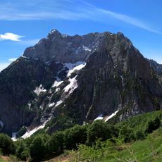
Monte Dolada is a mountain summit in the Venetian Prealps reaching 1938 meters, marked by steep southern ridges that give it a distinctive profile. The peak connects to adjacent mountains through a col situated at 863 meters elevation.
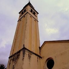
This mountain has served as a boundary between different alpine communities in Veneto for centuries, shaping how nearby groups divided the territory. The peak's position made it a natural dividing line that locals recognized and respected.
The Rifugio Dolomieu al Dolada mountain hut serves as a gathering place where climbers and hikers share meals featuring traditional alpine and local Veneto dishes. People here chat about their mountain adventures and the local way of life in these peaks.
You can reach this mountain from Pieve d'Alpago by driving a mountain road that leads to the parking area at Rifugio Dolomieu located at 1500 meters elevation. This mountain hut serves as your base point for hiking to the summit or spending the night.
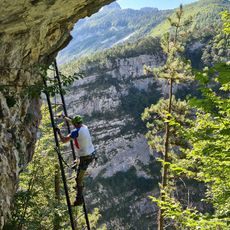
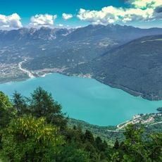
The peak is a preferred launch site for paragliders and hang-gliders who take advantage of the steady winds rising above Lake Santa Croce. These consistent air currents make it a notable destination for flying sports enthusiasts exploring the alpine region.
The community of curious travelers
AroundUs brings together thousands of curated places, local tips, and hidden gems, enriched daily by 60,000 contributors worldwide.