Piz Galin, Mountain summit in Brenta Dolomites, Italy.
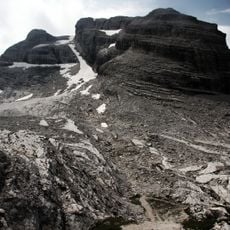
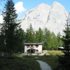
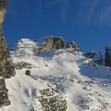
Piz Galin is a mountain peak in the Brenta Dolomites located between Cavedago, Molveno, and Spormaggiore, rising to 2,442 meters elevation. The peak is made of limestone with steep rocky faces and several hiking routes that approach it from different directions.
The summit cross was placed on Piz Galin, and the mountain has long been used by Andalo residents to forecast weather: when a cloud cap forms on the peak, they say "se el Piz el ia el chiapel, o chie'l fa brut o chie'l fa bel". The normal route from Molveno uses the two-stage lift to Rifugio La Montanara (1,525 m), then the Sentiero alpinistico Carlo Alberto Banal, named after the Andalo climber and photographer who fell just below the summit during a ski-mountaineering expedition in April 2014.
Locals from Andalo read the weather from the mountain's summit: when a cloud cap forms on Piz Galin, they say "Se el Piz el ia el chiapel, o chie'l fa brut o chie'l fa bel" — if the peak wears its hat, it will be either ugly or fine. A local saying also holds that to admire Piz Galin in all its beauty you must go to Andalo, but to admire Andalo you must climb Piz Galin.
The climb is steep and requires good physical preparation, as the elevation gain is considerable. Sturdy footwear and proper gear for changing weather are essential, especially as the air becomes thinner at higher elevations.
Locals from Andalo read the weather from the summit: when cloud caps Piz Galin, they say "Se el Piz el ia el chiapel, o chie'l fa brut o chie'l fa bel" — if the peak wears its hat, it will be either ugly or fine. A large cross stands on the summit, visible with the naked eye from the Andalo valley on clear days.
The community of curious travelers
AroundUs brings together thousands of curated places, local tips, and hidden gems, enriched daily by 93,802 contributors worldwide.