Cima Brenta, Mountain summit in Brenta Dolomites, Italy
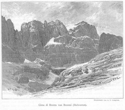
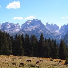
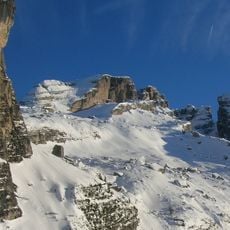
Cima Brenta is a mountain summit in the Brenta Dolomites reaching 3,151 meters elevation with a distinctive sharp ridge along its southern side. This peak stands as a recognizable landmark within the larger dolomitic rock formations of the region.
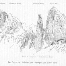
The first documented ascent took place in August 1871 when Douglas Freshfield and Francis Fox Tuckett reached the summit with guide François Devouassoud through the Vedretta di Brenta glacier. This early climb marked the mountaineering exploration of the Brenta range.
In 1889, Italian nationalists displayed their resistance by removing an Austro-Hungarian flag after authorities attempted to rename the mountain Kaiser Franz Josef-Spitze.
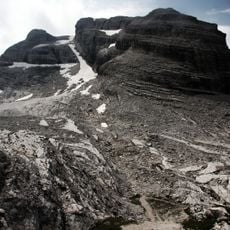
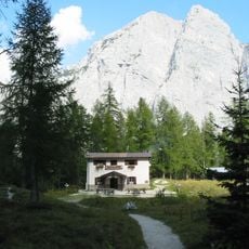
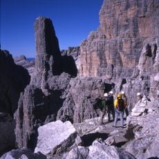
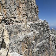
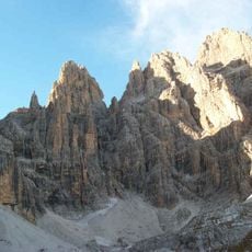
The South Normal route begins at Rifugio Brentei and crosses varied terrain with steep rock sections that demand solid climbing ability and mountaineering experience. Strong navigation skills and proper equipment are needed to manage the exposed passages safely.
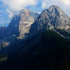
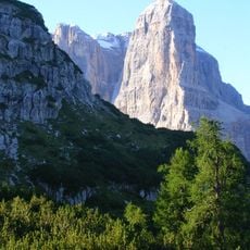
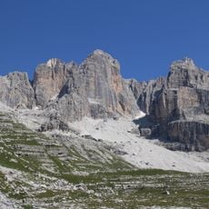
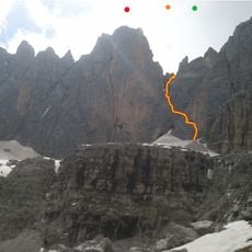
The eastern rock face displays a vertical wall with striking orange coloring that stands out when viewed from the Via delle Bocchette Alte trail. This distinctive orange hue serves as a recognizable landmark across the dolomitic landscape.
The community of curious travelers
AroundUs brings together thousands of curated places, local tips, and hidden gems, enriched daily by 60,000 contributors worldwide.