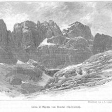
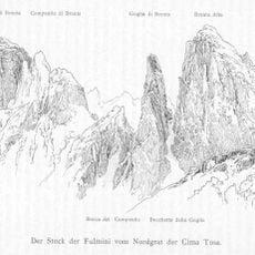
Cima Tosa, Mountain summit in Brenta Dolomites, Italy
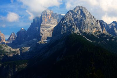
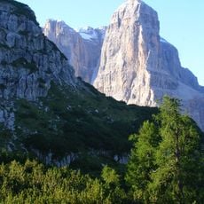
Cima Tosa is the highest summit in the Brenta group, a section of the Dolomites located in the Trentino region of northern Italy, reaching 3,136 meters (10,289 ft). Its north face drops sharply toward Val Rendena, while the upper part of the mountain is made up of bare rock cut through by snow-filled gullies.
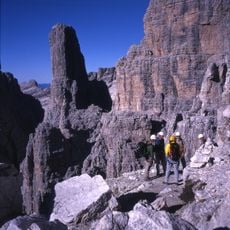
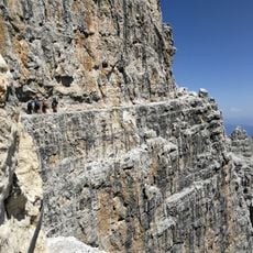
The first recorded ascent of Cima Tosa took place in 1865, when a climbing party reached the top via the southeast slope and set the standard route still used today. That climb opened the Brenta group to organized mountaineering, which developed steadily through the following decades.
The name of this peak comes from the local dialect and refers to its bare, sheared appearance, shaped by wind and rock. From the valleys below, the white snow cap is visible for a long distance and gives the summit a recognizable silhouette against the sky.
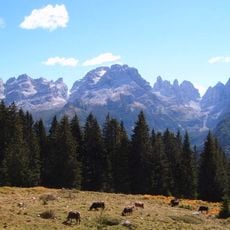
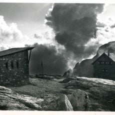
The summit is best reached between June and September, when snow conditions in the upper gullies are more manageable and weather windows are more reliable. Madonna di Campiglio, in the valley below, is the usual base for anyone planning an ascent, with services and mountain huts accessible from there.
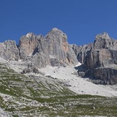
The Canalone della Tosa, a steep couloir running between Cima Tosa and the neighboring Crozzon di Brenta, was first skied in 1970 and has since become a reference point for extreme skiers in the Dolomites. Most visitors who admire the peak from the valley have no idea that the narrow gash visible in the rock face has a history of its own among experienced skiers.
The community of curious travelers
AroundUs brings together thousands of curated places, local tips, and hidden gems, enriched daily by 60,000 contributors worldwide.