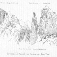
Campanile Basso, Mountain summit in Brenta Group, Italy
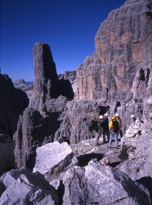
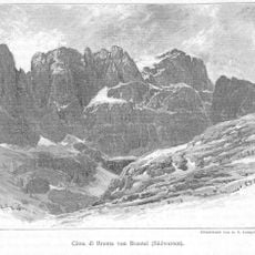
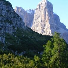
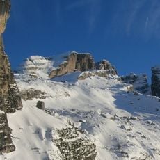
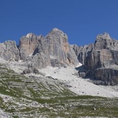
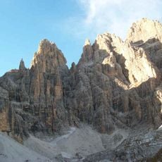
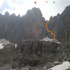
Campanile Basso is a distinctive rock summit in the Brenta Group within the Dolomites, rising steeply on all sides and reaching an elevation of 2,883 meters (9,459 feet). The stone formation displays a pale color and distinctive tower-like shape that stands out clearly from surrounding peaks.
The first recorded successful ascent occurred in 1899 when two students from Innsbruck reached the summit and documented this achievement. It later became an important training destination for alpine climbers, establishing its place in mountaineering history.
The name Campanile Basso refers to the peak's resemblance to a bell tower, with Basso meaning the lower of the two Campanile summits. Local people adopted this name to distinguish it from its higher neighbor, showing how the mountain shaped the language of those who lived nearby.
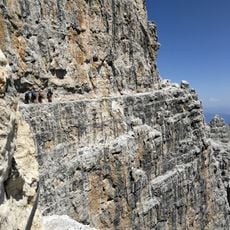
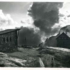
Climbers can reach this summit through several mountain refuges positioned at different elevations, each offering different starting points for the ascent. Access requires solid climbing skills and mountain experience, as the routes are exposed and involve technical rock climbing sections.
The summit features a small platform with tubular bells and a cross where climbers record their visits in a dedicated guest book. This tradition merges the physical challenge of reaching the top with a personal moment of remembrance and shared experience.
The community of curious travelers
AroundUs brings together thousands of curated places, local tips, and hidden gems, enriched daily by 60,000 contributors worldwide.