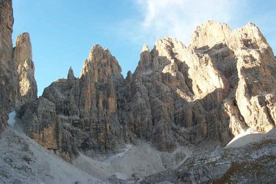
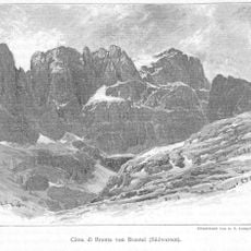
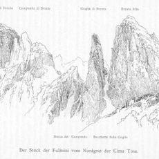
Campanile Alto, Mountain peak in Brenta group, Italy
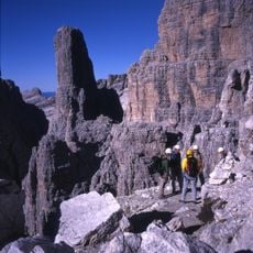
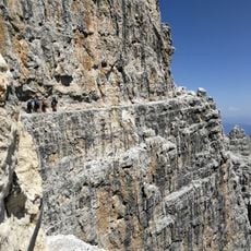
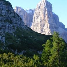
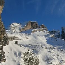
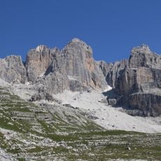
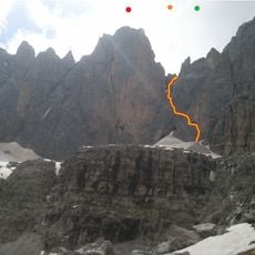
Campanile Alto is a distinctive mountain peak in the Brenta group at 2,937 meters, characterized by steep rocky walls and a tower-like summit shape. The mountain consists of limestone and dolomite rock that provides challenging climbing routes, with the standard path ascending primarily over exposed stone.
The mountain became a climbing destination in the early 1900s when mountaineers first established multiple routes to reach its summit. Successive generations developed new climbing lines and improved techniques, making it a classic peak for alpine rock climbing.
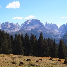
The peak attracts climbers who find meaning in testing themselves against the vertical rock faces and sharing their experiences with others who come here. The distinctive shape draws visitors who appreciate how mountains become landmarks in the hearts of local communities.
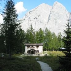
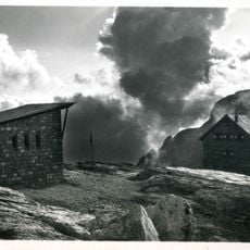
Visitors need proper climbing gear and solid experience, as the routes demand technical skill and often feature fixed ropes on steep sections. A mountain hut nearby provides shelter and serves as a convenient base for climbers planning their ascent.
The name "Campanile" means bell tower, which directly describes the distinctive shape of the summit that appears tower-like when viewed from a distance. This recognizable profile makes it stand out among neighboring peaks and creates an instantly memorable visual landmark.
The community of curious travelers
AroundUs brings together thousands of curated places, local tips, and hidden gems, enriched daily by 60,000 contributors worldwide.