
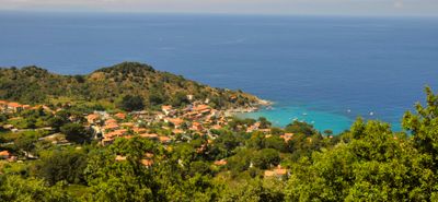
Sant'Andrea, human settlement in Marciana, Livorno, Italy
Location: Marciana
Elevation above the sea: 148 m
GPS coordinates: 42.80644,10.14060
Latest update: April 5, 2025 06:51
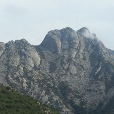
Mount Capanne
4.5 km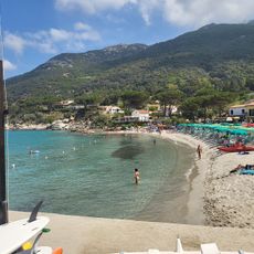
Spiaggia Sant'Andrea
102 m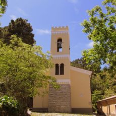
Madonna del Monte
2 km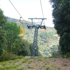
Funivia del Monte Capanne
3.2 km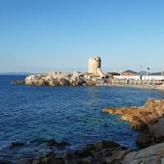
La Fenicia (pebbles)
4.3 km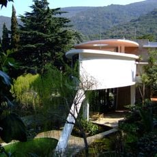
Villa della Valle
4.3 km
Accademia del Bello
4.1 km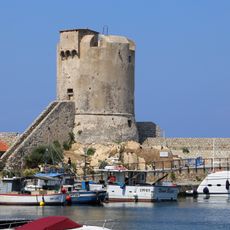
Torre degli Appiani
4.4 km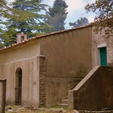
Romitorio di San Cerbone
3.6 km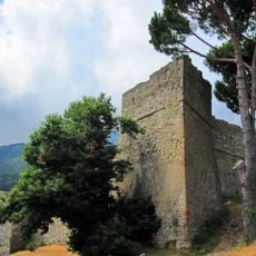
Pisan Fortress of Marciana
2.7 km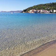
Spiaggia di Marciana Marina
4.6 km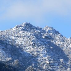
Monte di Cote
3.6 km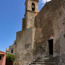
San Niccolò
4.1 km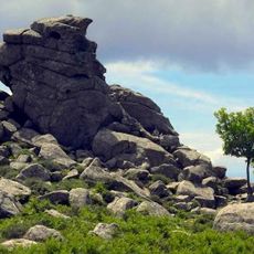
La Tabella
3.7 km
Serraventosa
1.8 km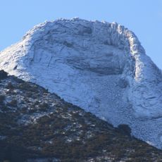
La Galera
4.1 km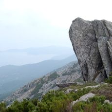
La Tavola
3.8 km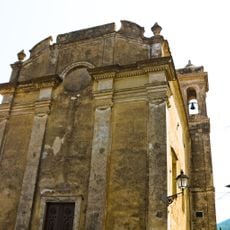
San Defendente
4.1 km
Monte Corto
4.4 km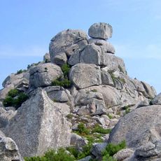
La Stretta
3.1 km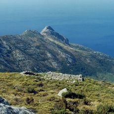
Chiesa di San Frediano
3.8 km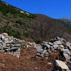
San Benedetto
4.9 km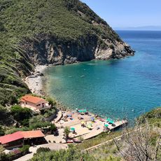
Patresi Mare
3 km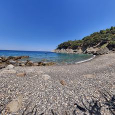
Spiaggia La Cala
2.4 km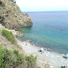
Spiaggia Polveraia
2.5 km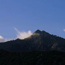
Monte Giove (Elba)
2.4 km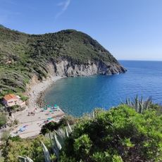
Spiaggia di Patresi
2.9 km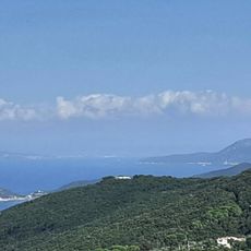
Il mondo dei pastori
4.3 kmReviews
Visited this place? Tap the stars to rate it and share your experience / photos with the community! Try now! You can cancel it anytime.
Discover hidden gems everywhere you go!
From secret cafés to breathtaking viewpoints, skip the crowded tourist spots and find places that match your style. Our app makes it easy with voice search, smart filtering, route optimization, and insider tips from travelers worldwide. Download now for the complete mobile experience.

A unique approach to discovering new places❞
— Le Figaro
All the places worth exploring❞
— France Info
A tailor-made excursion in just a few clicks❞
— 20 Minutes