
Monte Cassorso, Mountain of the Cottian Alps
Location: Piedmont
Elevation above the sea: 2,776 m
GPS coordinates: 44.41720,7.01762
Latest update: October 4, 2025 07:41
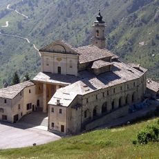
Shrine of St. Magnus
12.3 km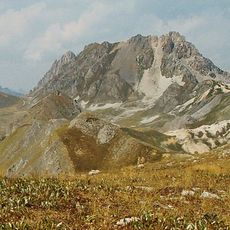
Rocca la Meja
4.6 km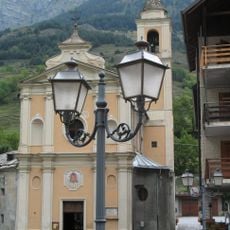
Santo Stefano Church
8.3 km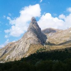
Rocca Provenzale
12.8 km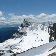
Monte Chersogno
12.2 km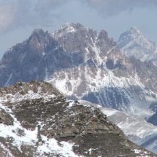
Tête de Moïse
7.1 km
Monte Tibert
10.6 km
Enciastraia
11.7 km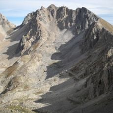
Monte Oserot
3 km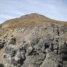
Monte Scaletta
5.4 km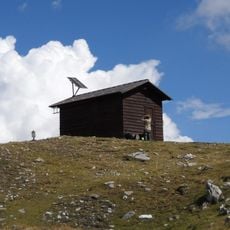
Bivacco Bonelli
8.3 km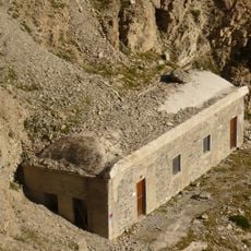
Bivacco Enrico e Mario
6.6 km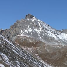
Rocca dei Tre Vescovi
12.1 km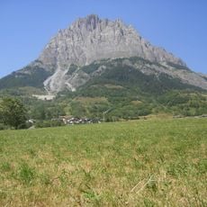
Monte Bersaio
8.6 km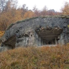
Fortificazioni ai Becchi Rossi
10 km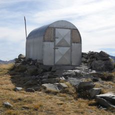
Bivacco Le Due Valli
4 km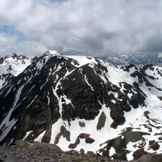
Mont Bal
11.5 km
Mont Soubeyran
10.5 km
Cima delle Lose
9 km
Vallon de l'Orrenaye
8.2 km
San Fabiano e San Sebastiano
7.9 km
Sant'Anna
3.9 km
Cappella di Santa Margherita
11.2 km
San Lorenzo
5.6 km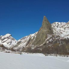
Sorgenti del Maira, Bosco di Saretto, Rocca Provenzale
12 km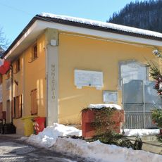
Town hall of Marmora
7.6 km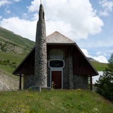
Chapelle Sainte-Marie-Madeleine de Maison-Méane
12.5 km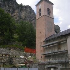
Chiesa dei Santi Pietro e Paolo
6.7 kmReviews
Visited this place? Tap the stars to rate it and share your experience / photos with the community! Try now! You can cancel it anytime.
Discover hidden gems everywhere you go!
From secret cafés to breathtaking viewpoints, skip the crowded tourist spots and find places that match your style. Our app makes it easy with voice search, smart filtering, route optimization, and insider tips from travelers worldwide. Download now for the complete mobile experience.

A unique approach to discovering new places❞
— Le Figaro
All the places worth exploring❞
— France Info
A tailor-made excursion in just a few clicks❞
— 20 Minutes