Bedolina Map, Prehistoric petroglyph site in Valcamonica Valley, Italy
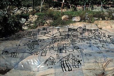
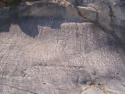
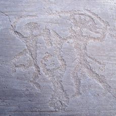
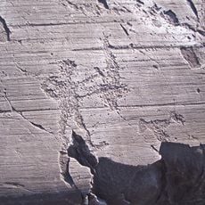
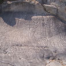
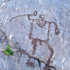
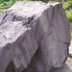
The Bedolina Map is a sandstone surface with over 100 engraved symbols that looks like an ancient document carved into the rock face. The carvings show a mix of straight and zigzagging lines, square patterns, animal figures, and human shapes all etched into the reddish-brown stone surface.
These rock carvings were made between the 6th and 4th centuries BC during the Iron Age when people first tried to map their territory. Later studies showed that these engravings represented an attempt by ancient inhabitants to document their agricultural lands and settlement zones.
The carvings reveal how ancient people organized and viewed their living space through these rock engravings. Each carved symbol tells something about their daily settlement patterns and how they moved through the land.
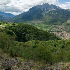
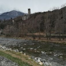
The rock art site sits at a moderate elevation near a small hamlet and can be reached by a walking path through the valley. Informational panels are set up at the location, and guided tours are available to help visitors interpret the carvings.
The engravings contain detailed patterns of dotted squares and zigzag lines that are difficult to make out at first glance. Only when viewing all the markings together do the regular patterns and their purpose as an ancient map become apparent.
The community of curious travelers
AroundUs brings together thousands of curated places, local tips, and hidden gems, enriched daily by 60,000 contributors worldwide.