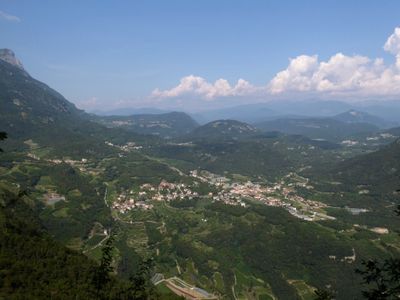
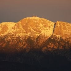
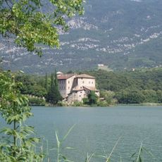
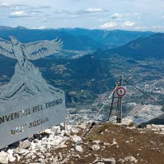
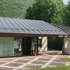
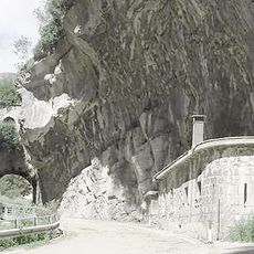
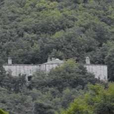
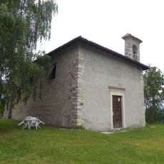
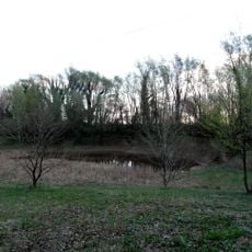
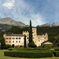
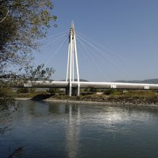
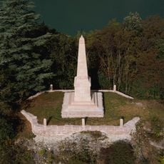
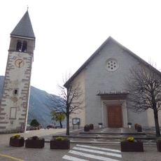
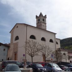
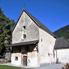
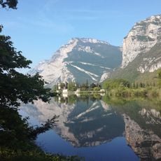
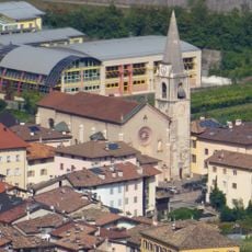
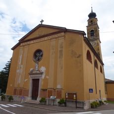
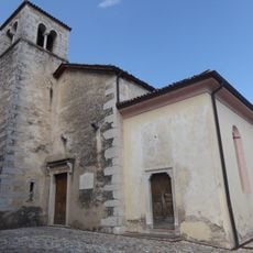
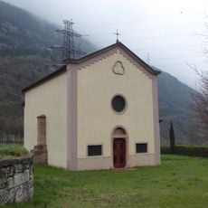
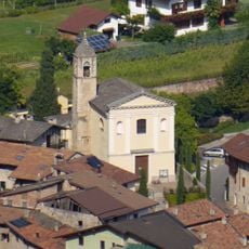
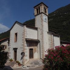
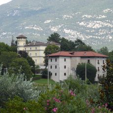
Vallelaghi, Italian comune
Location: Trentino
Elevation above the sea: 385 m
Shares border with: Andalo, Terre d'Adige, Fai della Paganella, Lavis, Trento, Madruzzo, San Lorenzo Dorsino, Molveno
Website: http://comune.vallelaghi.tn.it
GPS coordinates: 46.06667,10.98333
Latest update: March 5, 2025 01:04
Paganella
9.5 km
Castel Toblino
1.8 km
Via ferrata delle aquile
9.6 km
Ecomuseo Valle dei Laghi
1.4 km
Forte Bus de Vela
7.1 km
Fort Doss di Sponde
7 km
Saint Anne church
4.5 km
Biotopo Foci dell'Avisio
10.2 km
Castle of Terlago
6 km
Kaiserjäger bridge
11.6 km
Sacred Heart of Jesus church
6 km
Obelisco risorgimentale di Padergnone
373 m
Saint Charles Borromeo church
8.5 km
Santa Maria Assunta church
5 km
Saint Leonard church
5.1 km
Saint Vigilius church
8.4 km
Biotopo Lago di Toblino
2 km
Our Lady of Sorrows church
6.6 km
Saint Maxentia church
231 m
Saints Vigilius and Valentine church
1.9 km
Saint Andrew church
5.9 km
Saint Nicholas church
3.1 km
Saint Valentine church
829 m
Saint Bartholomew church
1.6 km
Saints Philip and James church
744 m
Saint James the Greater church
4.4 km
Maso Toresella
2.6 km
Saint Clare church
7.6 kmReviews
Visited this place? Tap the stars to rate it and share your experience / photos with the community! Try now! You can cancel it anytime.
Discover hidden gems everywhere you go!
From secret cafés to breathtaking viewpoints, skip the crowded tourist spots and find places that match your style. Our app makes it easy with voice search, smart filtering, route optimization, and insider tips from travelers worldwide. Download now for the complete mobile experience.
A unique approach to discovering new places❞
— Le Figaro
All the places worth exploring❞
— France Info
A tailor-made excursion in just a few clicks❞
— 20 Minutes