
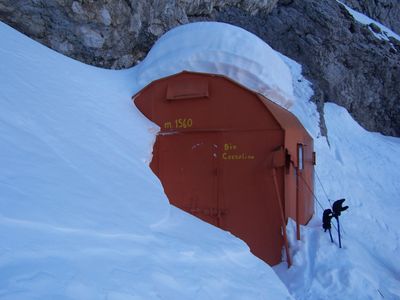
Bivacco Enzo Cozzolino
Location: Taibon Agordino
Inception: 1962
GPS coordinates: 46.28381,11.94928
Latest update: March 3, 2025 05:35
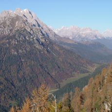
Monte Agnèr
865 m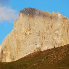
Vezzana
9.2 km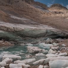
Fradusta glacier
6.9 km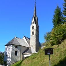
San Simon Church
9.6 km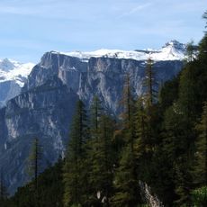
Pale di San Lucano
1.8 km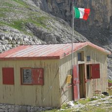
Bivacco Minazio
7 km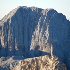
Pala di San Martino
8.3 km
Albino Luciani Museum
9 km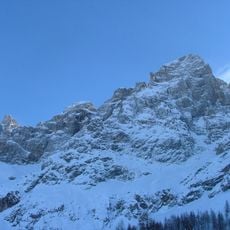
Cima dei Bureloni
9.2 km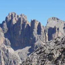
Cima di Focobon
8.7 km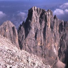
Cima Canali
7.9 km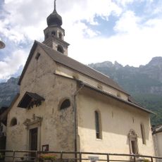
Sant'Antonio Abate
7.8 km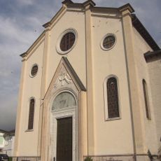
Beata Vergine Addolorata
5.1 km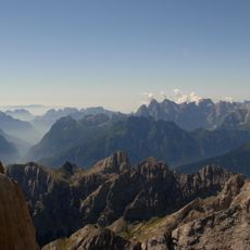
Monte San Lucano
3.1 km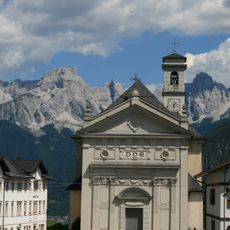
Saint Florian church
6.7 km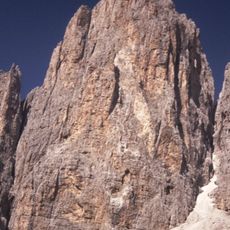
Cima Immink
8.4 km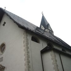
San Michele Arcangelo
9.1 km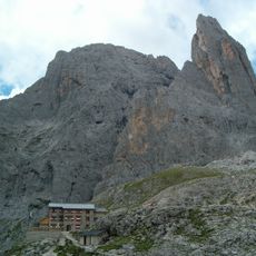
Cima Pradidali
8.5 km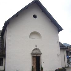
Saints Victor and Corona church
4.6 km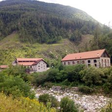
Centro Minerario di Valle Imperina
7.7 km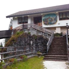
Parco Laghetti
4.7 km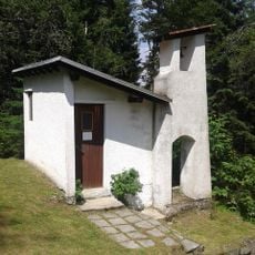
Saint Rita chapel
9.2 km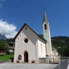
Our Lady of Graces church
8.9 km
Cimon della Stia
8 km
Cima di Val Grande
9 km
Cima Corona
8.8 km
Monte Tamer
8.1 km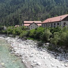
Valle Imperina Mining Centre
7.8 kmReviews
Visited this place? Tap the stars to rate it and share your experience / photos with the community! Try now! You can cancel it anytime.
Discover hidden gems everywhere you go!
From secret cafés to breathtaking viewpoints, skip the crowded tourist spots and find places that match your style. Our app makes it easy with voice search, smart filtering, route optimization, and insider tips from travelers worldwide. Download now for the complete mobile experience.

A unique approach to discovering new places❞
— Le Figaro
All the places worth exploring❞
— France Info
A tailor-made excursion in just a few clicks❞
— 20 Minutes