Introdacqua

Log in to your account

AroundUs is a community-driven map of interesting places, built by curious explorers like you. It grows with every review, story, and photo you share.
Connect to save your favorite spots, contribute locations, and create personalized routes.
Continue with Google
Continue with Apple
Continue with X
Continue with Facebook
Continue with email
By continuing, you accept our Terms and Conditions and our Privacy Policy
Create an account
Add to collection
Map
Suggest a change
Share

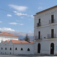
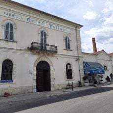
Introdacqua, chief town of the homonym municipality

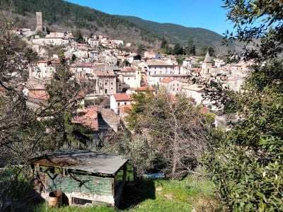
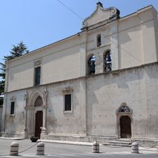
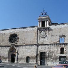
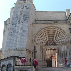
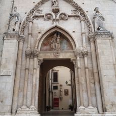
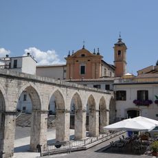
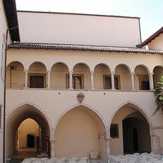
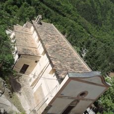
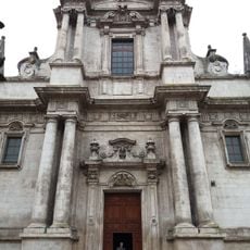
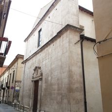
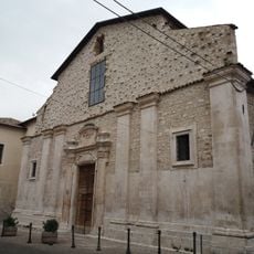
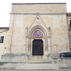
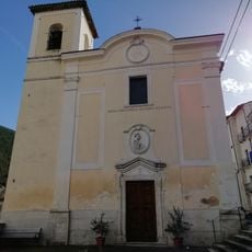
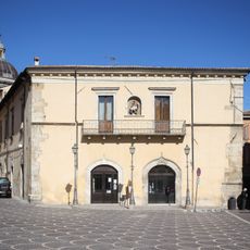
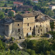
Introdacqua is a small village on a hilltop in the Peligna Valley in central Abruzzo, situated above 600 meters elevation. It features narrow stone streets lined with simple houses, with the main church of SS. Annunziata at its center, featuring a Romanesque bell tower, Renaissance frescoes, and the remains of Saint Feliciano.

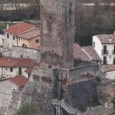
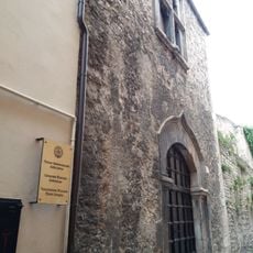
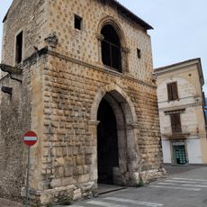
The settlement emerged around the 10th century and took its name from its location between waterways. The medieval Dongione tower built in 1173 and the old fountain from 1706 witness the village's long past under local rule.

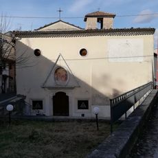
The name Introdacqua comes from Latin meaning "between waters," referring to its location near the Sagittario River. Local traditions remain strong today through religious processions and festivals where residents participate in customs passed down for centuries.

The village is less than 15 minutes drive from Sulmona and accessible by car or train to the local station, with buses connecting to surrounding areas. Comfortable walking shoes are recommended for the steep streets and stairs, and evening walks offer the best views of the surrounding landscape.

A hike up Mount Genzana takes walkers through wild flower meadows, especially gentians, to a mountain refuge at around 1800 meters with panoramic views of the Sulmona valley, Morrone mountain, and the distant Gran Sasso range. A local digestif made from gentian roots steeped in white wine is a drink locals enjoy after traditional meals.

Location: Introdacqua

Address: 67030 Introdacqua, Province of L'Aquila, Italy

GPS coordinates: 42.00743,13.89831

Latest update: January 12, 2026 11:10

Photos
Abruzzes: nature, mountain villages, Italian history sites

The Abruzzes stretch between the peaks of the Apennines and the Adriatic Sea. The landscape changes from high mountains to sandy beaches in a few miles. This part of Italy has three parks where hikers and skiers walk the paths in the Gran Sasso and Majella. Along the coast, old fishing platforms...

Reviews

Visited this place? Tap the stars to rate it and share your experience / photos with the community! Try now! You can cancel it anytime.

« Introdacqua - chief town of the homonym municipality » is provided by Around Us (aroundus.com). Images and texts are derived from Wikimedia project under a Creative Commons license. You are allowed to copy, distribute, and modify copies of this page, under the conditions set by the license, as long as this note is clearly visible.

Discover hidden gems everywhere you go!

From secret cafés to breathtaking viewpoints, skip the crowded tourist spots and find places that match your style. Our app makes it easy with voice search, smart filtering, route optimization, and insider tips from travelers worldwide. Download now for the complete mobile experience.

Around Us App Screenshot

A unique approach to discovering new places

Le Figaro

All the places worth exploring

France Info

A tailor-made excursion in just a few clicks

20 Minutes