
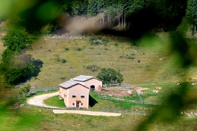
Malga Sega, building in Ala, Italy
Location: Ala
Elevation above the sea: 1,348 m
GPS coordinates: 45.69011,10.98216
Latest update: March 14, 2025 15:44
Parco naturale regionale della Lessinia
6.6 km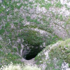
Spluga della Preta
2.7 km
Corno d'Aquilio
3.7 km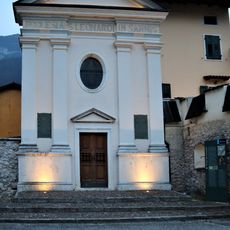
Saint Leonard church
4.3 km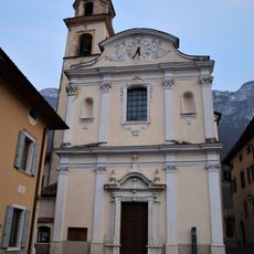
Saint Blaise church
4.4 km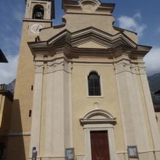
Saint Nicholas church
5.3 km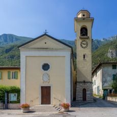
Saints Valentine and Vincent Ferrer church
5 km
Biotopo Palù di Borghetto
4.5 km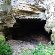
Grotta del Ciabattino
3 km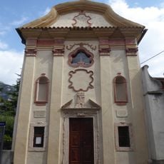
Saint Joseph church
5.5 km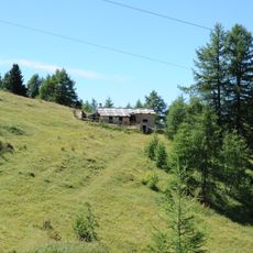
Malga Castelberto
4.1 km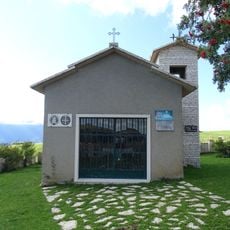
Saint Benedict church
2.8 km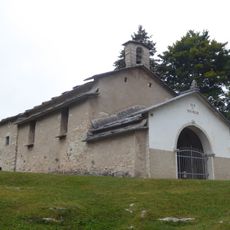
Saint Roch church
788 m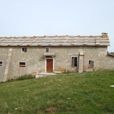
Malga Baito di fondo
4.2 km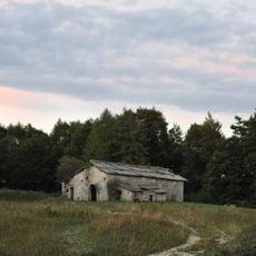
Malga Foppiano
5.2 km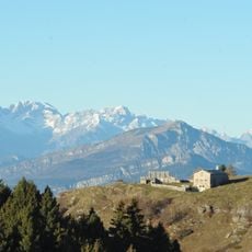
Malga Revoltel
2.7 km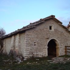
Malga Cornafessa
2.3 km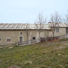
Malga Coe di Ala
3.3 km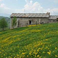
Malga Maia
1.2 km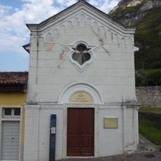
Saint Stephen chapel
4.3 km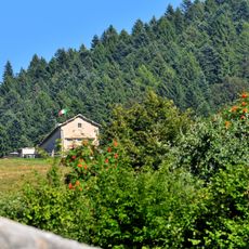
Malga Lavacchione
2.3 km
Castelbarco shrine
5.1 km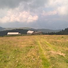
Malga Lavacchietto
1.3 km
Malga Fratte
1.5 km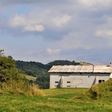
Malga Boldera
565 m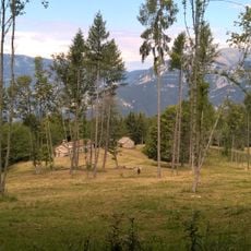
Malga Barognolo
3.9 km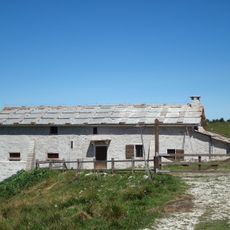
Malga Baito di cima
5.5 km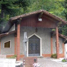
Cemetery chapel
5.1 kmReviews
Visited this place? Tap the stars to rate it and share your experience / photos with the community! Try now! You can cancel it anytime.
Discover hidden gems everywhere you go!
From secret cafés to breathtaking viewpoints, skip the crowded tourist spots and find places that match your style. Our app makes it easy with voice search, smart filtering, route optimization, and insider tips from travelers worldwide. Download now for the complete mobile experience.

A unique approach to discovering new places❞
— Le Figaro
All the places worth exploring❞
— France Info
A tailor-made excursion in just a few clicks❞
— 20 Minutes