
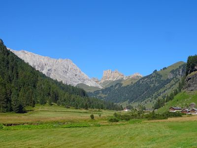
Val Duron, protected area
Location: Trentino
Part of: Natura 2000
GPS coordinates: 46.49250,11.66917
Latest update: May 25, 2025 09:47
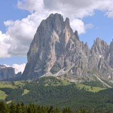
Saslonch
6.2 km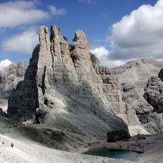
Vajolet Towers
4.2 km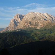
Sas Plat
4.3 km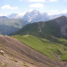
Col Rodella
6.1 km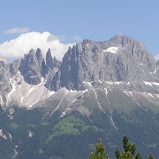
Rosengartenspitze
5.6 km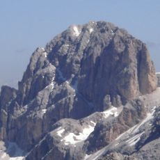
Kesselkogel
2.8 km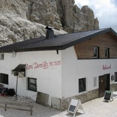
Toni-Demetz-Hütte
5.9 km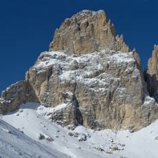
Sas da Duman
5.3 km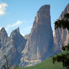
Dënt
4.8 km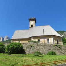
Saints Philip and James church
5.8 km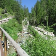
Ruf de Duron
4 km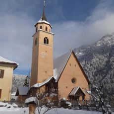
Saint Lawrence church
6.3 km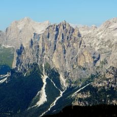
Cima Scalieret
3.8 km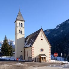
Saint Mary Magdalene church
4.6 km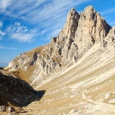
Roterdspitze
3.9 km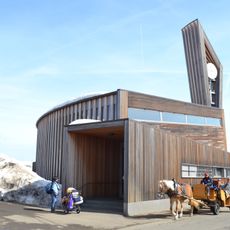
St. Francis
6.5 km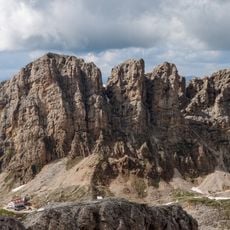
Rosszähne
3 km
Saint Mary Mother of the Church and Saints Vigilius and Lawrence church
6.2 km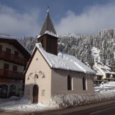
Our Lady of Lourdes church
4.8 km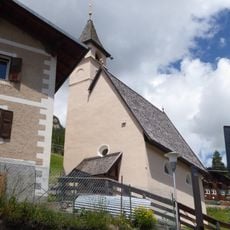
Saint Anne church
5.4 km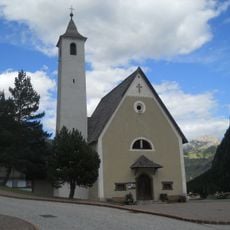
Our Lady of Mount Carmel church
5.2 km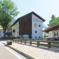
Cèsa de Comun
5.8 km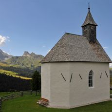
Marienkapelle Seiser Alm
2.5 km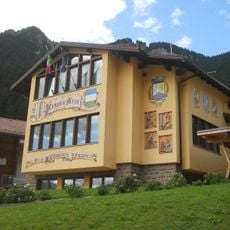
Town hall of Mazzin
5.2 km
Cima delle Pope
4.2 km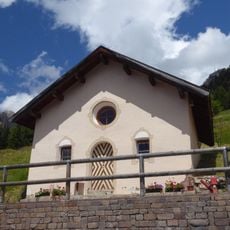
Blessed Virgin Mary church
5.8 km
Vajoletspitze
3.7 km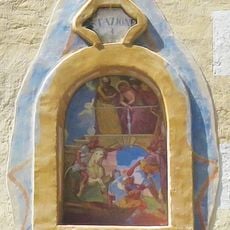
Via Crucis della Chiesa dei Santi Filippo e Giacomo
5.8 kmReviews
Visited this place? Tap the stars to rate it and share your experience / photos with the community! Try now! You can cancel it anytime.
Discover hidden gems everywhere you go!
From secret cafés to breathtaking viewpoints, skip the crowded tourist spots and find places that match your style. Our app makes it easy with voice search, smart filtering, route optimization, and insider tips from travelers worldwide. Download now for the complete mobile experience.

A unique approach to discovering new places❞
— Le Figaro
All the places worth exploring❞
— France Info
A tailor-made excursion in just a few clicks❞
— 20 Minutes