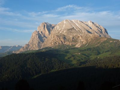
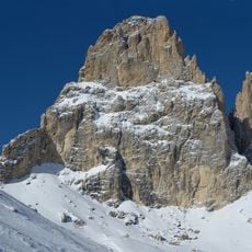
Sas Plat, Mountain summit in South Tyrol, Italy.
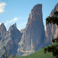
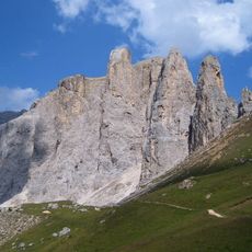
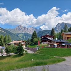
Sas Plat rises to 2,964 feet within the Langkofel Group of the Dolomites, featuring a distinctive flat profile visible from surrounding valleys. Its unusual shape makes it an easily recognizable landmark when viewed from the surrounding landscape.
The Dolomites, to which this summit belongs, formed over 200 million years ago through the transformation of ancient marine deposits. This geological history shapes the region's distinctive landscape and mountain structure to this day.
The mountain carries different names across languages: Sassopiatto in Italian, Plattkofel in German, and Sasplat in the local Ladin language. This linguistic variety reflects the region's cultural heritage and shows how the peak serves as a shared landmark for multiple communities.
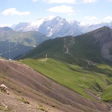
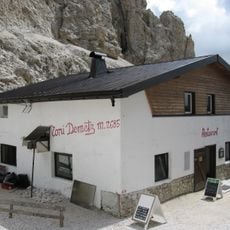
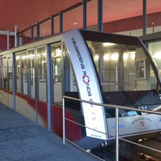
The mountain is accessible via marked trails starting from Passo Sella at 2,200 feet, and visitors can also use chair lifts from Alpe di Siusi. These starting points allow visitors to choose an ascent route that matches their fitness level.
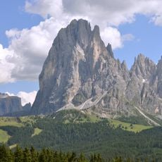
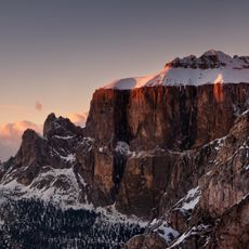
From this summit, hikers can reach eight major neighboring peaks, including Sassolungo, creating an extensive network of varied routes. This connectivity makes it a central point for those wanting to combine multiple peaks of the group in a single journey.
The community of curious travelers
AroundUs brings together thousands of curated places, local tips, and hidden gems, enriched daily by 60,000 contributors worldwide.