Agrifoglio
Location: Bormida
Elevation above the sea: 520 m
Height: 7 m
Part of: inhabited area
Address: Palazzo Pertini - Ferriera
GPS coordinates: 44.26816,8.23033
Latest update: November 13, 2025 08:04
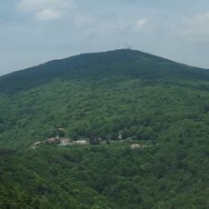
Monte Settepani
3.6 km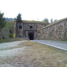
Forte Centrale
4.9 km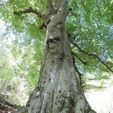
Faggi di Benevento
5.1 km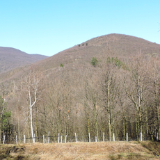
Bric della Croce
1.7 km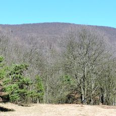
Ronco di Maglio
3 km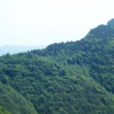
Bric Gettina
4.9 km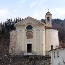
Santissimo Nome di Maria
2.8 km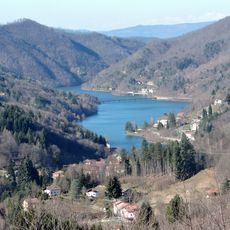
Lago di Osiglia
4.5 km
Area protetta di interesse provinciale Lago di Osiglia
4.5 km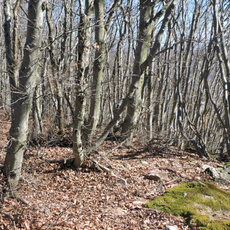
Ronco di Maglio
5 km
Ippocastano
2 km
Tuia gigante
3.1 km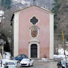
San Francesco d'Assisi
2.8 km
Forte Settepani
3.7 km
Area protetta provinciale Melogno
5.1 km
Lake of Osiglia
4.2 km
Miniere di Bric Gettina
4.7 km
Funtana da Regina
733 m
Cascata della Ferriera
4.9 km
Scenic viewpoint
4.3 km
Scenic viewpoint
3.3 km
Scenic viewpoint
4.5 km
Scenic viewpoint
2.7 km
Scenic viewpoint
3.2 km
Rocca di Lai
4.7 km
Cascata della Ferriera
4.9 km
Cascata dei Tritoni
2.4 km
Ferriere
4.9 kmReviews
Visited this place? Tap the stars to rate it and share your experience / photos with the community! Try now! You can cancel it anytime.
Discover hidden gems everywhere you go!
From secret cafés to breathtaking viewpoints, skip the crowded tourist spots and find places that match your style. Our app makes it easy with voice search, smart filtering, route optimization, and insider tips from travelers worldwide. Download now for the complete mobile experience.

A unique approach to discovering new places❞
— Le Figaro
All the places worth exploring❞
— France Info
A tailor-made excursion in just a few clicks❞
— 20 Minutes