Bric Gettina, Mountain summit in Liguria, Italy
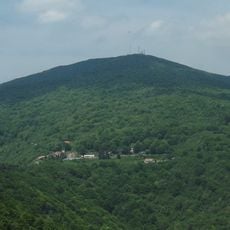
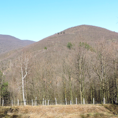
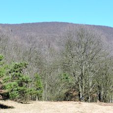
Bric Gettina is a mountain peak in the Ligurian Prealps that rises to about 1,000 meters above sea level. The summit sits between two valleys with distinct characteristics and forms part of a ridge system.
On the slope of Bric Gettina facing the Pora valley, silver mines were worked during the Renaissance. Tunnels, the remains of buildings used for the first processing of the ore, and shelters for the miners are still visible there. The summit is reached by unmarked tracks leaving the mule track between Casa del Mago and the former mines.
The mountain is known locally for the valleys it divides and shapes the landscape identity of the region. Visitors notice this role quickly when exploring different sides and observing how the terrain changes on either side.
Hikes begin from an old stone building and follow untracked paths that wind through former mining areas. Expect rough terrain and bring good navigation skills as the routes are not clearly marked.
The ridge that bears the mountain's name runs from Monte Settepani south-east to the Ligurian Sea, separating the Pora and Maremola valleys. A saddle at 899 m near Casa del Mago links Bric Gettina to Settepani, while the ridge continues seaward over Rocca Cucca (874 m) and Monte Collarina (607 m).
The community of curious travelers
AroundUs brings together thousands of curated places, local tips, and hidden gems, enriched daily by 94,227 contributors worldwide.