
Cascata dell'ex Ferriera, waterfall in Santa Fiora
Location: Santa Fiora
Address: Via dei Molini
GPS coordinates: 42.82976,11.58503
Latest update: March 10, 2025 00:06

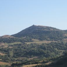
Monte Labbro
4.9 km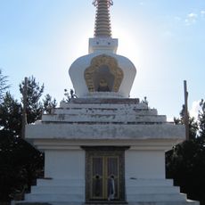
Merigar West
3.9 km
Museo delle Miniere di Mercurio del Monte Amiata
189 m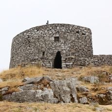
Torre Giurisdavidica
4.9 km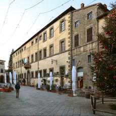
Palazzo Sforza Cesarini
210 m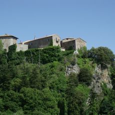
Castello di Triana
5.6 km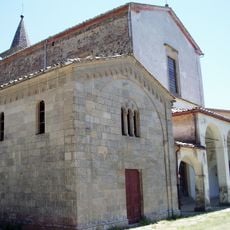
Santissima Trinità
3.2 km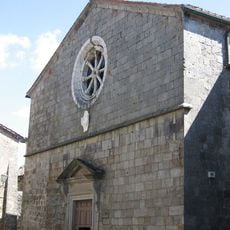
Pieve delle Sante Flora e Lucilla
71 m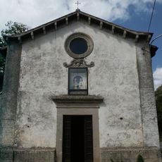
Chiesa della Madonna della Neve (Santa Fiora)
152 m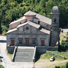
Madonna delle Grazie
6.1 km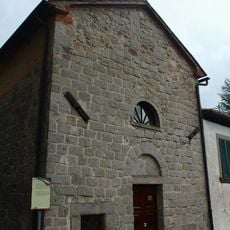
Santa Mustiola
5.7 km
Gompa of Merigar West
3.9 km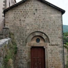
Sant'Andrea
6.1 km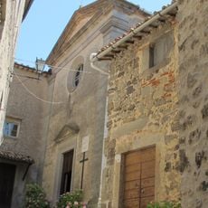
Chiesa di Santa Chiara
151 m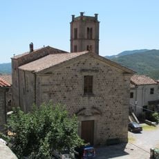
Sant'Agostino
71 m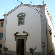
Chiesa del Suffragio
179 m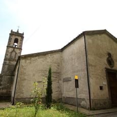
Chiesa del Crocifisso
5.8 km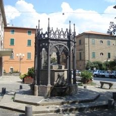
Fonti del Poggiolo
6.1 km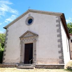
San Rocco
813 m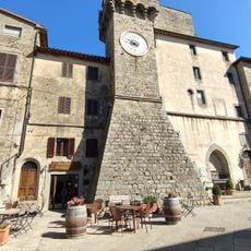
Museum of Mines of Mercury Monte Amiata
196 m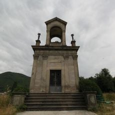
War memorial of Arcidosso
5.5 km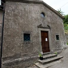
Sant'Anna
6 km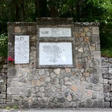
War memorial in Tre Case
5.8 km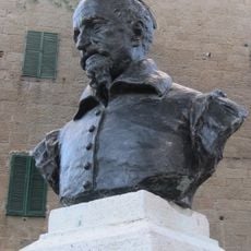
Monumento a Giovan Domenico Peri
6.1 km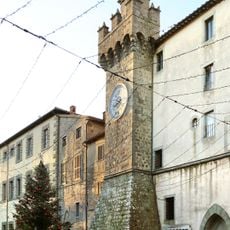
Torre civica
250 m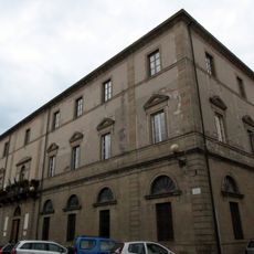
Palazzo Comunale
6 km
Santo Stefano
3.1 km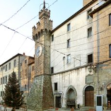
Palazzo Pretorio
200 mReviews
Visited this place? Tap the stars to rate it and share your experience / photos with the community! Try now! You can cancel it anytime.
Discover hidden gems everywhere you go!
From secret cafés to breathtaking viewpoints, skip the crowded tourist spots and find places that match your style. Our app makes it easy with voice search, smart filtering, route optimization, and insider tips from travelers worldwide. Download now for the complete mobile experience.

A unique approach to discovering new places❞
— Le Figaro
All the places worth exploring❞
— France Info
A tailor-made excursion in just a few clicks❞
— 20 Minutes