Santa Fiora

Log in to your account

AroundUs is a community-driven map of interesting places, built by curious explorers like you. It grows with every review, story, and photo you share.
Connect to save your favorite spots, contribute locations, and create personalized routes.
Continue with Google
Continue with Apple
Continue with X
Continue with Facebook
Continue with email
By continuing, you accept our Terms and Conditions and our Privacy Policy
Create an account
Add to collection
Map
Suggest a change
Share

Santa Fiora, Medieval commune in Province of Grosseto, Italy

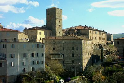
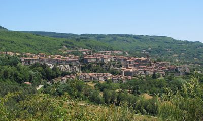
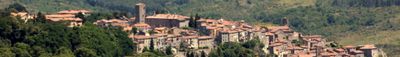
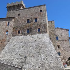
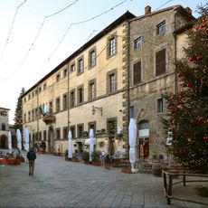
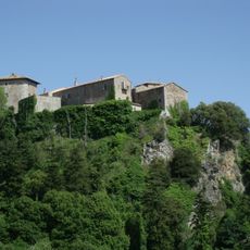
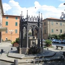
Santa Fiora is a commune in the Province of Grosseto perched at 687 meters on a trachyte cliff. The settlement divides into three districts—Castello, Borgo, and Montecatino—each displaying distinct architectural characteristics.

The territory transferred from Aldobrandeschi family rule to the Sforza family in 1439 through the marriage of Cecilia Aldobrandeschi and Bosio Sforza. This shift marked a new chapter in the political development of the settlement.

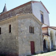
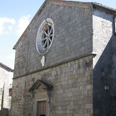
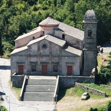
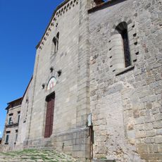
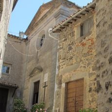
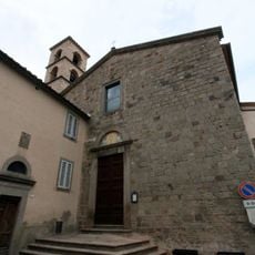
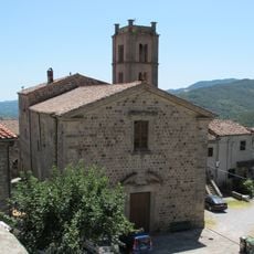
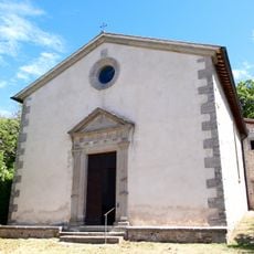
The Parish Church of Santa Flora and Lucilla stands as the religious heart and holds terracotta works by Andrea della Robbia. These artworks reflect the artistic importance the place held during the Renaissance period.

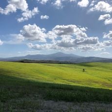
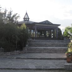
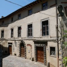
Palazzo Sforza Cesarini houses the Monte Amiata Museum of Mining, which documents mercury extraction methods that shaped the region. The slopes surrounding the settlement offer walking paths with views across the landscape.

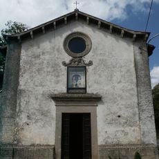
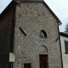
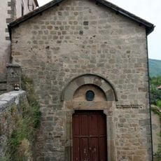
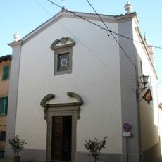
The Church of Madonna della Neve features a glass floor revealing the Fiora spring flowing directly beneath visitors' feet. This rare feature connects the building to the natural water that runs through the region.

Location: Province of Grosseto

Capital city: Santa Fiora

Elevation above the sea: 687 m

Shares border with: Abbadia San Salvatore, Arcidosso, Castell'Azzara, Piancastagnaio, Semproniano, Castel del Piano, Roccalbegna

Address: Ufficio Turistico, Piazza Giuseppe Garibaldi, 39 58037 Santa Fiora GR

Website: http://comune.santafiora.gr.it

GPS coordinates: 42.83194,11.58528

Latest update: December 17, 2025 11:23

Photos
Reviews

Visited this place? Tap the stars to rate it and share your experience / photos with the community! Try now! You can cancel it anytime.

« Santa Fiora - Medieval commune in Province of Grosseto, Italy » is provided by Around Us (aroundus.com). Images and texts are derived from Wikimedia project under a Creative Commons license. You are allowed to copy, distribute, and modify copies of this page, under the conditions set by the license, as long as this note is clearly visible.

Discover hidden gems everywhere you go!

From secret cafés to breathtaking viewpoints, skip the crowded tourist spots and find places that match your style. Our app makes it easy with voice search, smart filtering, route optimization, and insider tips from travelers worldwide. Download now for the complete mobile experience.

Around Us App Screenshot

A unique approach to discovering new places

Le Figaro

All the places worth exploring

France Info

A tailor-made excursion in just a few clicks

20 Minutes