Sakurajima, Active stratovolcano in Kagoshima, Japan
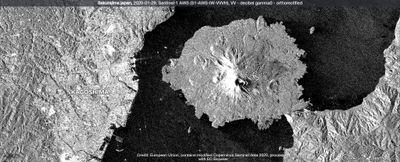
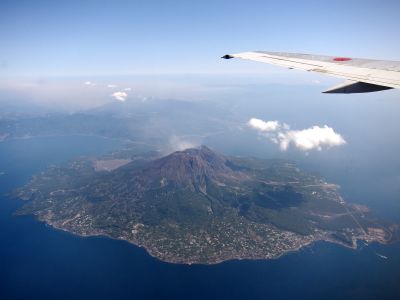
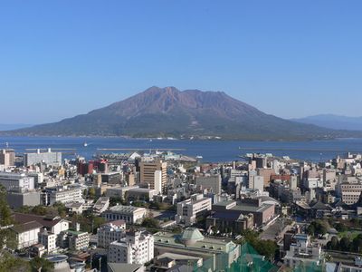
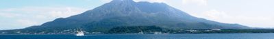
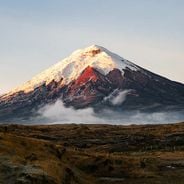
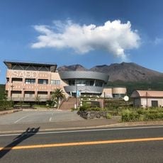
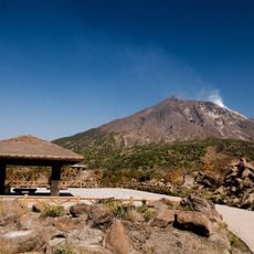
Sakurajima is a 1117-meter-high stratovolcano in Kagoshima Prefecture that stands connected to the Osumi Peninsula through hardened lava flows and now forms a peninsula jutting into the bay. The mountain consists of several craters, with the southern Minami-dake and Showa craters regularly emitting ash and plumes of smoke, while the flanks are covered by dark lava fields and sparse vegetation.
In January 1914, a violent eruption transformed Sakurajima from an island into a peninsula as lava flows filled the strait between the mountain and the mainland. This eruption lasted several months and permanently altered the geography of the region, while later outbursts during the 20th century continued to reshape the volcanic landform.
The name Sakurajima translates as Cherry Island and recalls the time when the peak stood isolated in the bay, while residents around the peninsula use special shelters for cars and keep umbrellas handy to shield against falling ash. The landscape is shaped by constant volcanic activity, and many public squares feature ash disposal stations that make living near the mountain more manageable.
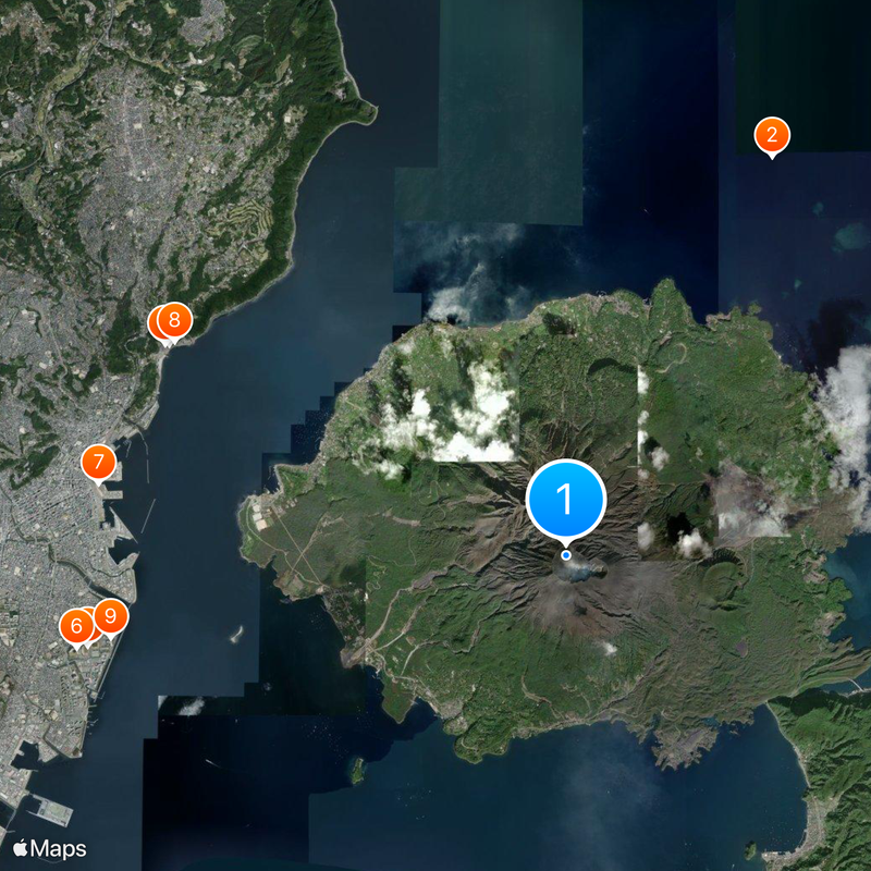
Observation platforms along the coastal road provide safe viewing points for volcanic activity, and visitors should bring weatherproof clothing as ash fall may occur depending on wind direction. Ferries depart regularly from Kagoshima port and take roughly 15 minutes to reach the peninsula, where buses connect the main points of interest.
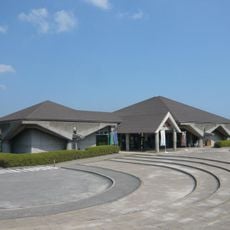
The andesitic soils around the mountain produce exceptionally large daikon radishes that are considered a regional specialty and appear in local dishes. A dedicated visitor center displays real-time seismic monitoring data and explains the geological processes that have shaped the mountain over millennia.
The community of curious travelers
AroundUs brings together thousands of curated places, local tips, and hidden gems, enriched daily by 60,000 contributors worldwide.