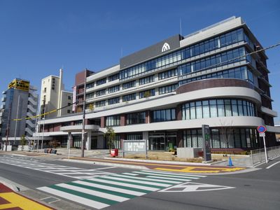
Yamatotakada, City and administrative center in central Nara Prefecture, Japan
Yamatotakada is a city located in central Nara Prefecture with flat terrain shaped by the Katsuragi and Takada rivers that flow through the area. The city spreads across a considerable region with residential neighborhoods, schools, and railway connections serving the local community.
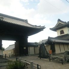
The city began as a castle town near Koriyama Castle during Japan's turbulent Sengoku period, when regional lords competed for power. Early rulers like Tsutsui Junkei and Toyotomi Hidenaga shaped how the settlement grew and developed.
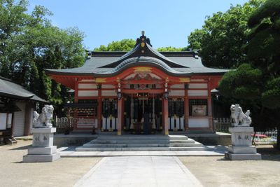
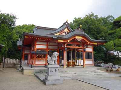
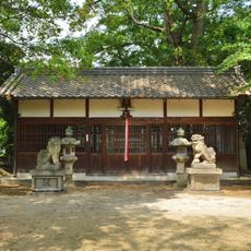
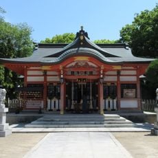
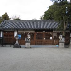
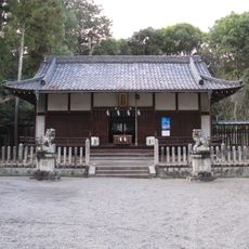
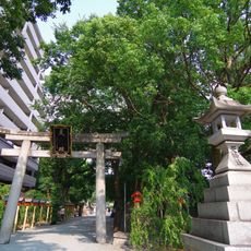
The northwestern area contains ancient burial mounds from the fifth century, showing how people have lived and honored their dead in this region for over 1500 years. These sites remain visible places where visitors can observe early Japanese practices.
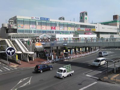
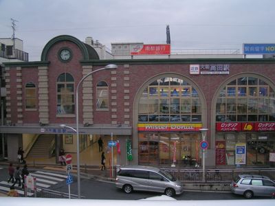
The city has good transportation access thanks to JR West and Kintetsu Railway lines that connect to surrounding areas. Local schools and services are distributed throughout the neighborhoods, making it easy to get around on foot or by bike.
This city forged one of Japan's earliest international partnerships when it connected with Lismore, Australia in the 1960s. This early sister city relationship stands as a remarkable example of cross-cultural friendship established during that era.
The community of curious travelers
AroundUs brings together thousands of curated places, local tips, and hidden gems, enriched daily by 60,000 contributors worldwide.