
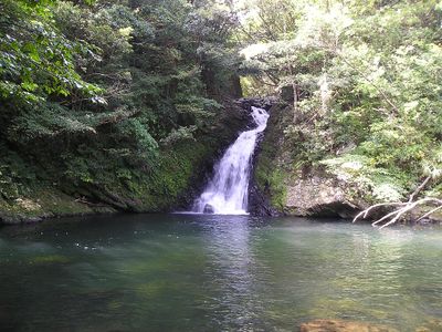
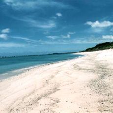
Yamato, village in Ōshima district, Kagoshima prefecture, Japan
Location: Ōshima district
Inception: April 1, 1908
Shares border with: Amami, Uken
Website: https://vill.yamato.lg.jp
GPS coordinates: 28.35803,129.39519
Latest update: March 3, 2025 17:08
Amami Ōshima
8.8 km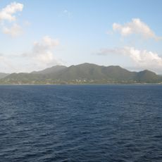
Tokunoshima
75.2 km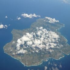
Amami-Ōshima Island, Tokunoshima Island, northern part of Okinawa Island, and Iriomote Island
8.9 kmKobatachigami
173.5 km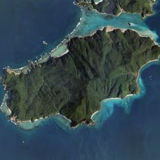
Edateku Island
20.5 km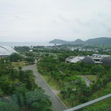
Amami Park
30 km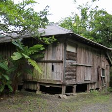
Isson Tanaka's Final Residence
13.6 km十島村立口之島小中学校
188.6 km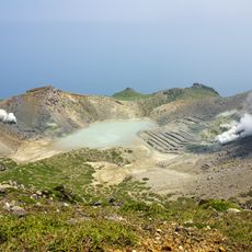
Otake
173 km
Akakina Castle
30 kmYoron Castle
176.1 kmUzahama Site
200.3 km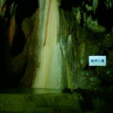
Shōryūdō
138.4 kmForest in Black Current Mangrove Park
11.2 kmAmami Prefectural Library
10.2 kmShinsumiyogawa Dam
7.7 km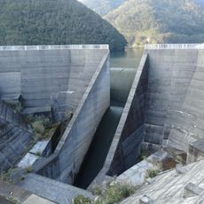
Okawa Dam
8.9 km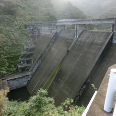
Yamato Dam
1.9 kmPort of Kodakarajima
96.3 kmUshuku Shell Mound
32.9 km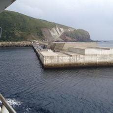
Port of Motoura
142.4 km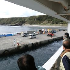
Port of Kiriishi
142.9 kmPort of Takarajima
89.5 km
Port of Nakanoshima
170.8 km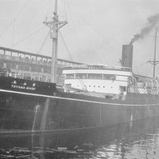
Toyama Maru
70.9 km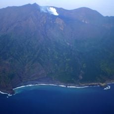
Mount Otake
145.9 km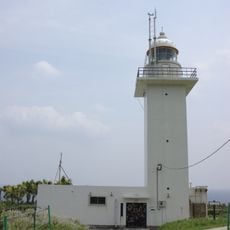
Nakano Shima Lighthouse
170.8 km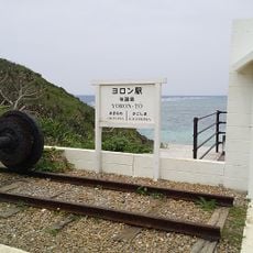
Yoron Station
176.6 kmVisited this place? Tap the stars to rate it and share your experience / photos with the community! Try now! You can cancel it anytime.
Discover hidden gems everywhere you go!
From secret cafés to breathtaking viewpoints, skip the crowded tourist spots and find places that match your style. Our app makes it easy with voice search, smart filtering, route optimization, and insider tips from travelers worldwide. Download now for the complete mobile experience.

A unique approach to discovering new places❞
— Le Figaro
All the places worth exploring❞
— France Info
A tailor-made excursion in just a few clicks❞
— 20 Minutes