Enable Location

We need your location to show you interesting places around you

Discover nearby places

Find interesting locations and hidden gems around you

Precise directions

Get accurate directions and distances to places

Your location is never shared with other users. It's only used when you tap the location button.

Kyotanabe

Log in to your account

Start exploring — it's free

Trusted by 62,935 travelers worldwide

Continue with Google
Continue with Apple
or

We will send you a code to connect

By continuing, you accept our Terms and Conditions and our Privacy Policy

Check your inbox

We've sent a pincode in your inbox. Please enter the code below.

Discussion Reviews 3 Photos
64.7k Popularity

Kyotanabe, Urban center in southern Kyoto Prefecture, Japan

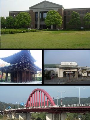
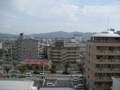
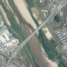
Kyotanabe is a city in southern Kyoto Prefecture, positioned between the Kizugawa River on its eastern side and the Ikoma Mountains to the west. The settlement spreads across several districts with residential areas, schools, and parks linked by smaller roads throughout the urban fabric.

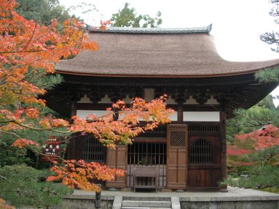
The area served as a temporary capital of Japan during the reign of Emperor Keitai in the sixth century. Starting as a village in 1889, it gained official city status in 1997.

Nine elementary schools, three junior high schools, and Doshisha Women's College of Liberal Arts contribute to the educational landscape of the city.

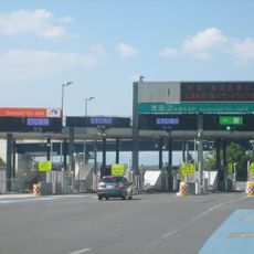
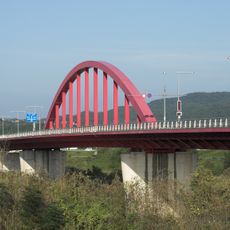
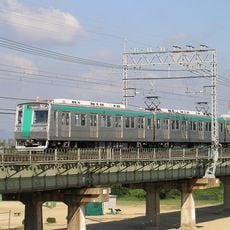
The JR West Katamachi Line, Kintetsu Railway Kyoto Line, and National Routes 1, 24, and 307 connect the city with larger metropolitan areas of the region. Local buses run between residential neighborhoods and main transport hubs throughout the day.

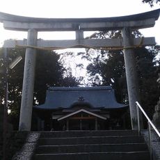
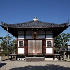
The Ōsumi Kurumazuka Kofun sits within city limits and is classified as a National Historic Site. This ancient burial mound dates back to the fifth or sixth century and stands among the few preserved examples of early burial structures in Kyoto Prefecture.

The community of curious travelers

AroundUs brings together thousands of curated places, local tips, and hidden gems, enriched daily by 60,000 contributors worldwide.

Start exploring
Location
Inception
April 1, 1997
Reference
262111
Shares border with
Ikoma, Hirakata, Joyo, Yawata, Kizugawa, Ide, Seika
GPS coordinates
34.81444,135.76769
Latest update
December 13, 2025 18:32
Reviews
Share your experience

No review yet

Discussions
Start a discussion...

No discussion yet

« Kyotanabe - Urban center in southern Kyoto Prefecture, Japan » is provided by Around Us (aroundus.com). Images and texts are derived from Wikimedia project under a Creative Commons license. You are allowed to copy, distribute, and modify copies of this page, under the conditions set by the license, as long as this note is clearly visible.

Discover hidden gems everywhere you go!

From secret cafés to breathtaking viewpoints, skip the crowded tourist spots and find places that match your style. Our app makes it easy with voice search, smart filtering, route optimization, and insider tips from travelers worldwide. Download now for the complete mobile experience.

Around Us App Screenshot

A unique approach to discovering new places

Le Figaro

All the places worth exploring

France Info

A tailor-made excursion in just a few clicks

20 Minutes

Around Us
Travel Guide & Maps
Download

Send to your phone

QR Code
1

Open the camera app on your mobile.

2

Point at the QR code with your camera. A notification will appear.

3

Tap the notification to open the link.