Kyoto Prefecture, Prefecture with historic temples in Kansai Region, Japan
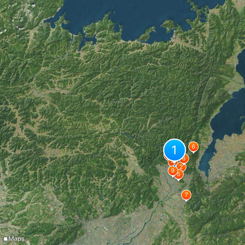
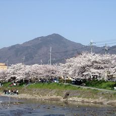
Kyoto Prefecture covers 4,612 square kilometers (1,781 square miles) and stretches from ancient temples in the south to the Sea of Japan coastline in the north. The landscape includes densely populated urban areas, forested mountains, river valleys, and coastal sections that divide the administrative territory into distinct geographic zones.
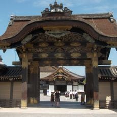
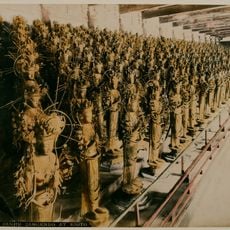
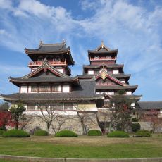
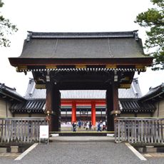
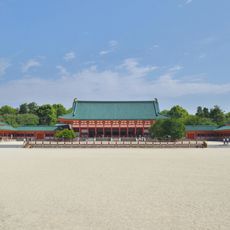
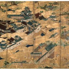
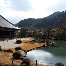
From 794 until 1868, the area contained the imperial capital where emperors resided and influenced the development of Japanese arts and governance. As the political and cultural center for centuries, the region shaped national identity and preserved buildings from multiple periods.
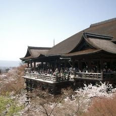
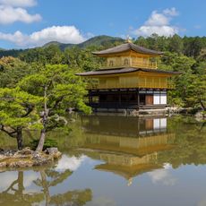
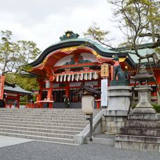
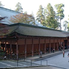
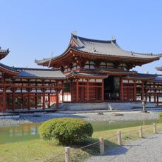
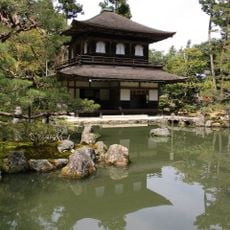
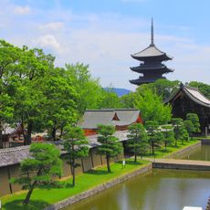
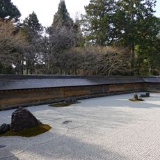
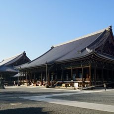
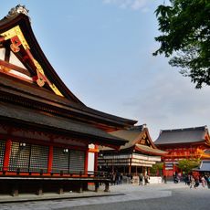
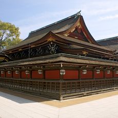
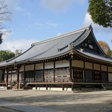
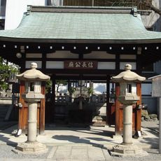
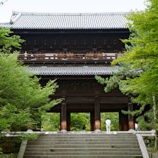
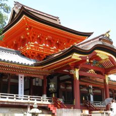
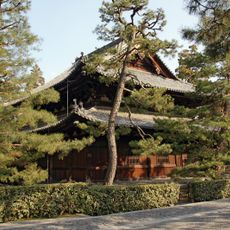
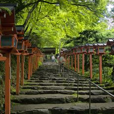
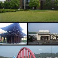
The region holds more than 2,000 temples and shrines, many of which are UNESCO World Heritage sites visited daily by worshippers and travelers. Numerous locations remain active religious centers where traditional ceremonies take place and visitors can witness the spiritual life of local communities.
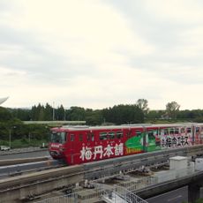
The area connects to neighboring regions through several transport networks, including bullet trains that reach Osaka in 15 minutes and Tokyo in 140 minutes. Visitors can choose between urban, rural, and coastal zones and should plan different travel times and transport options depending on their destination.
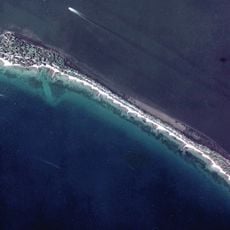
Northern areas contain Amanohashidate, a pine-covered sand bar stretching 3.6 kilometers (2.2 miles) across Miyazu Bay. This natural formation has been regarded for centuries as one of Japan's three most scenic views and attracts visitors who enjoy the perspective from nearby viewpoints.
The community of curious travelers
AroundUs brings together thousands of curated places, local tips, and hidden gems, enriched daily by 60,000 contributors worldwide.