Enable Location

We need your location to show you interesting places around you

Discover nearby places

Find interesting locations and hidden gems around you

Precise directions

Get accurate directions and distances to places

Your location is never shared with other users. It's only used when you tap the location button.

Yomitan

Log in to your account

Start exploring — it's free

Trusted by 62,824 travelers worldwide

Continue with Google
Continue with Apple
or

We will send you a code to connect

By continuing, you accept our Terms and Conditions and our Privacy Policy

Check your inbox

We've sent a pincode in your inbox. Please enter the code below.

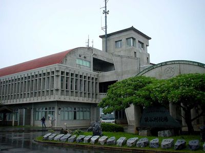
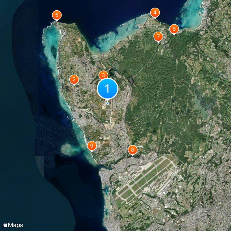
Yomitan, Administrative village in Nakagami District, Okinawa, Japan

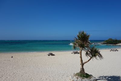
Yomitan is a village in Nakagami District on Okinawa's main island, stretching across forests, farmland, and residential areas along the East China Sea coast. The settlement blends rural landscape with small communities and a natural shoreline that shapes the western profile of the island.

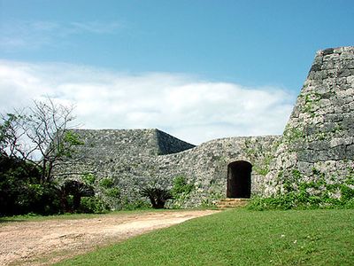
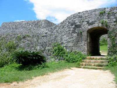
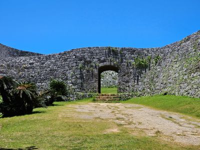
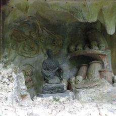
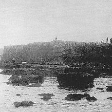
The port of Hamanaga served as a key trading hub during the Ryukyu Kingdom before the region came under Japanese control in 1879. These maritime connections shaped the area's economic development for centuries.

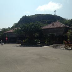
Yachimun no Sato showcases traditional Ryukyuan ceramics made using techniques passed down through generations of local artisans. Visitors can watch craftspeople shape and fire pottery, offering insight into the island's artistic heritage.

The village is accessible by car from Naha Airport using Highway 58, which takes roughly one hour and connects well to other parts of Okinawa. The road leads directly into the area, making it easy for visitors to explore on their own or visit craft centers.

The village is known for growing beni imo, a purple sweet potato that local producers transform into various regional foods and sweets. This distinctive variety shapes the local food culture and is widely available in the area.

The community of curious travelers

AroundUs brings together thousands of curated places, local tips, and hidden gems, enriched daily by 60,000 contributors worldwide.

Start exploring
Inception
April 1, 1908
Reference
473243
Shares border with
Okinawa, Kadena, Onna
GPS coordinates
26.39606,127.74439
Latest update
December 14, 2025 18:15
« Yomitan - Administrative village in Nakagami District, Okinawa, Japan » is provided by Around Us (aroundus.com). Images and texts are derived from Wikimedia project under a Creative Commons license. You are allowed to copy, distribute, and modify copies of this page, under the conditions set by the license, as long as this note is clearly visible.

Discover hidden gems everywhere you go!

From secret cafés to breathtaking viewpoints, skip the crowded tourist spots and find places that match your style. Our app makes it easy with voice search, smart filtering, route optimization, and insider tips from travelers worldwide. Download now for the complete mobile experience.

Around Us App Screenshot

A unique approach to discovering new places

Le Figaro

All the places worth exploring

France Info

A tailor-made excursion in just a few clicks

20 Minutes

Around Us
Travel Guide & Maps
Download

Send to your phone

QR Code
1

Open the camera app on your mobile.

2

Point at the QR code with your camera. A notification will appear.

3

Tap the notification to open the link.