Enable Location

We need your location to show you interesting places around you

Discover nearby places

Find interesting locations and hidden gems around you

Precise directions

Get accurate directions and distances to places

Your location is never shared with other users. It's only used when you tap the location button.

Tako

Log in to your account

Start exploring — it's free

Trusted by 61,367 travelers worldwide

Continue with Google
Continue with Apple
or

We will send you a code to connect

By continuing, you accept our Terms and Conditions and our Privacy Policy

Check your inbox

We've sent a pincode in your inbox. Please enter the code below.

Tako, Town in Katori district, Japan

Description

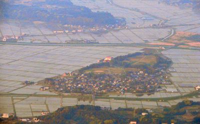
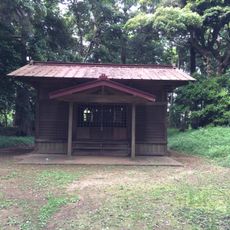
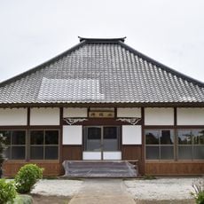
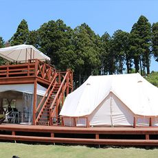
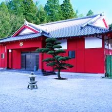
Tako is a town in Katori district, Chiba Prefecture, situated on flat terrain with wide rice fields and rural landscapes that define the area. The townscape features small residential neighborhoods interspersed with farmland, rural roads, and the natural water channels that support agriculture.

History

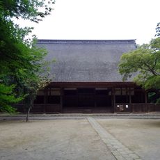
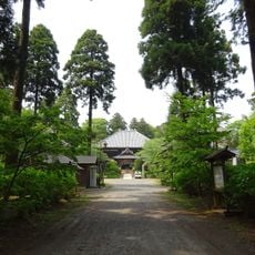
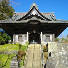
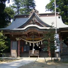
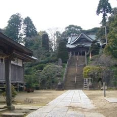
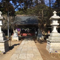
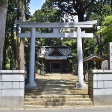
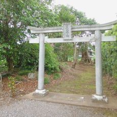
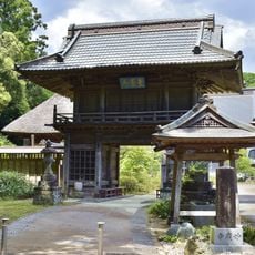
The area developed as a rural settlement under Fujiwara clan control during the Heian period, then shifted to Chiba clan governance in the Kamakura period. These early connections to powerful clans shaped the region's historical identity for centuries.

Culture

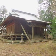
Archaeological discoveries in Tako include artifacts from the Jomon period, rice paddies from the Yayoi period, and tumuli from the Kofun period.

Practical

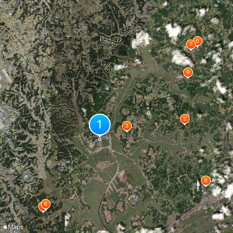
The town is accessible mainly by local bus routes and minor roads that connect residential areas and farmland. Keep in mind this is a genuine rural village, so public transit is limited and a rental vehicle can be helpful for exploring the wider area.

Did you know?

The town sits just west of Narita International Airport, and many residents commute there daily for work, which is unusual for such a rural place. This proximity has tied the village economically to a major modern transportation hub while it keeps its countryside character.

Location
Location
Inception
March 31, 1954
Reference
123471
Shares border with
Sosa, Katori, Narita, Shibayama, Yokoshibahikari
GPS coordinates
35.73561,140.46775
Latest update
December 20, 2025 14:52

AroundUs brings together thousands of curated places, local tips, and hidden gems, enriched daily by 60,000 contributors worldwide. Discover all places nearby (Katori district).

« Tako - Town in Katori district, Japan » is provided by Around Us (aroundus.com). Images and texts are derived from Wikimedia project under a Creative Commons license. You are allowed to copy, distribute, and modify copies of this page, under the conditions set by the license, as long as this note is clearly visible.

Discover hidden gems everywhere you go!

From secret cafés to breathtaking viewpoints, skip the crowded tourist spots and find places that match your style. Our app makes it easy with voice search, smart filtering, route optimization, and insider tips from travelers worldwide. Download now for the complete mobile experience.

Around Us App Screenshot

A unique approach to discovering new places

Le Figaro

All the places worth exploring

France Info

A tailor-made excursion in just a few clicks

20 Minutes

Around Us
Travel Guide & Maps
Download

Send to your phone

QR Code
1

Open the camera app on your mobile.

2

Point at the QR code with your camera. A notification will appear.

3

Tap the notification to open the link.