
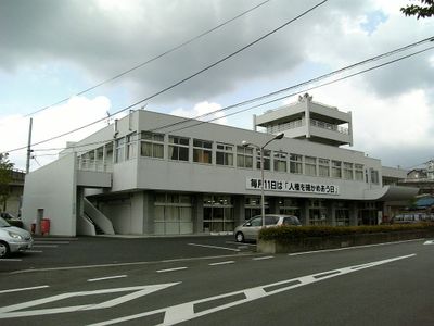
Sango, town in Ikoma District, Nara Prefecture, Japan
Location: Nara Prefecture
Location: Ikoma district
Inception: April 1, 1889
Website: https://www.town.sango.nara.jp/
Shares border with: Heguri, Ikaruga, Oji, Yao, Kashiwara
Website: https://town.sango.nara.jp
GPS coordinates: 34.60017,135.69553
Latest update: May 27, 2025 13:20
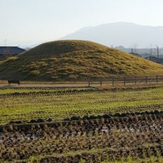
Fujinoki Kofun
3.4 km
Chōgosonshi-ji
2.6 km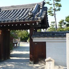
Daruma-ji
1.6 km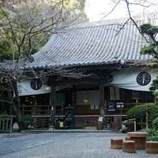
Kichiden-ji
2.8 km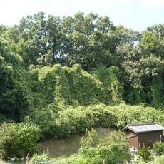
Château de Kataokashiro
2.8 km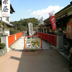
Kaiun Bridge
2.4 km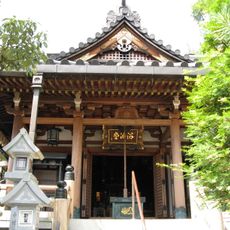
Shigisan Gyokuzōin
2.6 km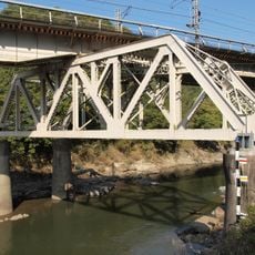
No.4 Yamatogawa railway bridge
3.3 km
Nishinomiya Kofun
2.6 km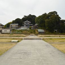
Ninji Haiji
3 km
Hirano Tsukaanayama Kofun
3.7 km
Udozuka Kofun
2.1 km
竜田御坊山3号墳
3.1 km
平隆寺
666 m
南元町
1.6 km
Tsuboriyama Kofun
3.3 km
藤田家住宅
3.4 km
Miyayamazuka Kofun
2.7 km
舟戸 (王寺町)
1.7 km
長楽寺
3.3 km
神代古墳
2.5 km
勢野茶臼山古墳
1 km
本町
1.5 km
地蔵寺
3 km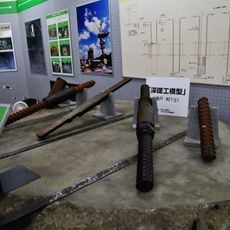
Kamenose resource center of local landslides
3 km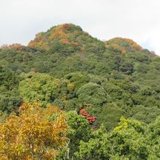
Mount Shigi
2.9 km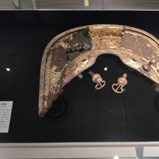
Ikaruga Cultural Heritage Center
3.4 km
Shigisan Castle
2.9 kmReviews
Visited this place? Tap the stars to rate it and share your experience / photos with the community! Try now! You can cancel it anytime.
Discover hidden gems everywhere you go!
From secret cafés to breathtaking viewpoints, skip the crowded tourist spots and find places that match your style. Our app makes it easy with voice search, smart filtering, route optimization, and insider tips from travelers worldwide. Download now for the complete mobile experience.

A unique approach to discovering new places❞
— Le Figaro
All the places worth exploring❞
— France Info
A tailor-made excursion in just a few clicks❞
— 20 Minutes