Sango, town in Ikoma District, Nara Prefecture, Japan
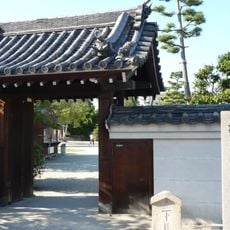
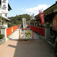
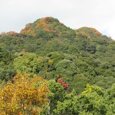
Sango is a small town in Nara Prefecture's Ikoma district, characterized by flat terrain with a river running through it and nearby mountains forming its natural boundary. The place consists of quiet streets lined with residential homes and small shops that follow a slow pace of daily life.
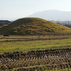
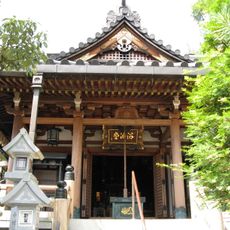
The town was established as a village in 1889 and gained town status in 1966. The area has deep roots in the ancient Yamato Province, and its past is woven into local stories and traditions.
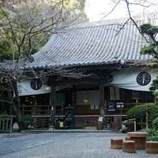
Sango maintains a strong connection to local festivals like the Fuonsai-festival in September, bringing together residents and visitors for traditional performances and regional food. These gatherings demonstrate how the community keeps its history and customs alive through shared celebrations.
The area is easy to walk around with comfortable conditions year-round, featuring warm summers and mild winters. Proximity to the JR West line and Kintetsu railway makes it simple to visit larger cities like Osaka and Nara.
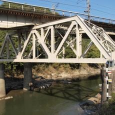
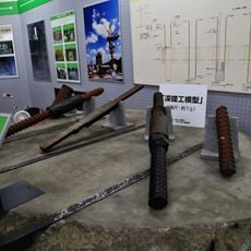
The town recently celebrated the 100th anniversary of the opening of the former Higashi-Shigi Cable Line, an event that highlights the region's connection to local transportation routes and its development. This milestone shows how small communities preserve and honor their technical heritage.
The community of curious travelers
AroundUs brings together thousands of curated places, local tips, and hidden gems, enriched daily by 60,000 contributors worldwide.