Enable Location

We need your location to show you interesting places around you

Discover nearby places

Find interesting locations and hidden gems around you

Precise directions

Get accurate directions and distances to places

Your location is never shared with other users. It's only used when you tap the location button.

Kanie

Log in to your account

Start exploring — it's free

Trusted by 62,003 travelers worldwide

Continue with Google
Continue with Apple
or

We will send you a code to connect

By continuing, you accept our Terms and Conditions and our Privacy Policy

Check your inbox

We've sent a pincode in your inbox. Please enter the code below.

Kanie, Administrative town in Ama District, Aichi Prefecture, Japan

Kanie is a town in Ama District, Aichi Prefecture, located where the Kiso River meets Ise Bay in a low-lying delta area. The settlement spreads across gently sloping land shaped by river channels and coastal features.

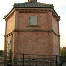
The area developed during the Edo period under Tokugawa administration as part of the Owari Domain and became an official municipality in 1889. A major earthquake in 1891 shifted the course of the town's growth.

The name Kanie comes from the crabs that once lived abundantly in these waters, showing how the natural world shaped the community's identity. This connection to local wildlife still influences how people understand their hometown.

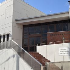
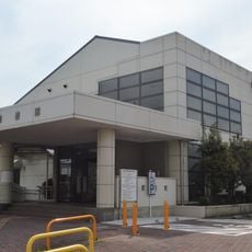
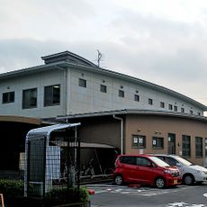
The town is well served by railway lines from the Central Japan Railway Company and Kintetsu Railway, making it easy to reach. Visitors will find local services and facilities distributed throughout the area for everyday needs.

The 1891 earthquake became a turning point in the town's development and left lasting marks on local building and infrastructure. Despite merger proposals from neighboring areas, the town chose to remain independent and preserve its own identity.

The community of curious travelers

AroundUs brings together thousands of curated places, local tips, and hidden gems, enriched daily by 60,000 contributors worldwide.

Start exploring
Location
Location
Inception
October 1, 1889
Reference
234257
Shares border with
Nagoya, Tsushima, Aisai, Yatomi, Ama, Tobishima
GPS coordinates
35.13225,136.78681
Latest update
December 17, 2025 10:27
« Kanie - Administrative town in Ama District, Aichi Prefecture, Japan » is provided by Around Us (aroundus.com). Images and texts are derived from Wikimedia project under a Creative Commons license. You are allowed to copy, distribute, and modify copies of this page, under the conditions set by the license, as long as this note is clearly visible.

Discover hidden gems everywhere you go!

From secret cafés to breathtaking viewpoints, skip the crowded tourist spots and find places that match your style. Our app makes it easy with voice search, smart filtering, route optimization, and insider tips from travelers worldwide. Download now for the complete mobile experience.

Around Us App Screenshot

A unique approach to discovering new places

Le Figaro

All the places worth exploring

France Info

A tailor-made excursion in just a few clicks

20 Minutes

Around Us
Travel Guide & Maps
Download

Send to your phone

QR Code
1

Open the camera app on your mobile.

2

Point at the QR code with your camera. A notification will appear.

3

Tap the notification to open the link.