Ōmu, town in Monbetsu district, Hokkaidō, Japan
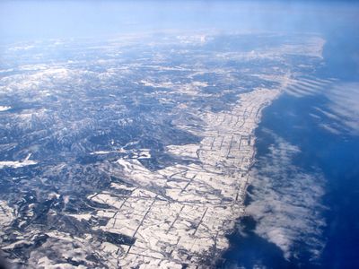
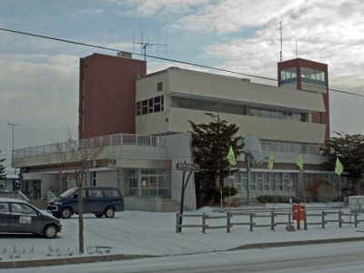
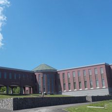
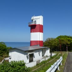
Ōmu is a small town in Okhotsk Subprefecture on the island of Hokkaido, surrounded by forests and open fields. The area features simple, functional architecture with quiet streets and houses that show how nature merges into daily life.
Ōmu was officially founded on April 1, 1915, after the region existed as an Ainu settlement for centuries. In 1948, it changed its designation from Ōmu-mura to Ōmu-cho, marking a shift in the town's administrative status.
The name Ōmu likely originates from the Ainu language, reflecting the indigenous roots of the region. Residents gather for simple seasonal festivals that celebrate the harvest or changing weather, sharing local foods and stories that connect them to their land and water.
The town is accessible by local roads and offers basic services and small shops that reflect daily life. Visitors should prepare for cold winters with heavy snow and short, warm summers, as the climate significantly influences activities and conditions here.
The town has a mascot called Ikurasujiko, a small salmon creature wearing a hat who loves sitting in hot springs while gazing at the sea. This unusual character symbol reflects the local connection to the ocean and natural hot springs that shape the region.
The community of curious travelers
AroundUs brings together thousands of curated places, local tips, and hidden gems, enriched daily by 60,000 contributors worldwide.