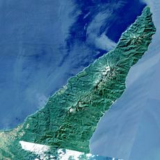
Okhotsk Subprefecture, Administrative division in Hokkaido, Japan
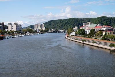
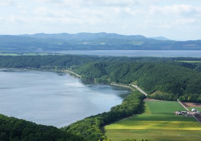
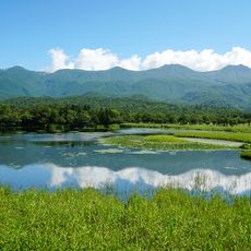
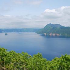
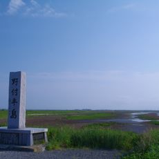
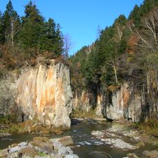
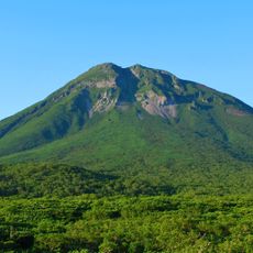
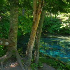
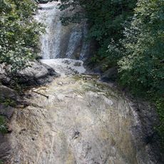
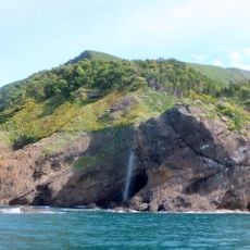
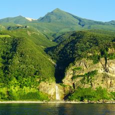
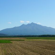
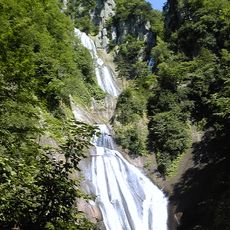
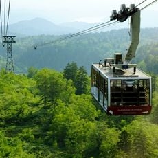
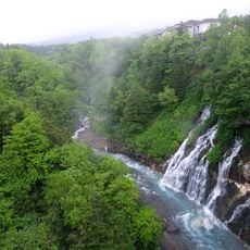
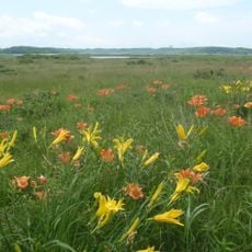
Okhotsk Subprefecture is an administrative division in northeastern Hokkaido that borders the Sea of Okhotsk and encompasses several cities and towns. The region includes Abashiri, Kitami, Monbetsu, and numerous smaller municipalities connected by various transportation routes.
The region was renamed from Abashiri Subprefecture to Okhotsk Subprefecture in 2010, marking a significant administrative reorganization of Hokkaido's governmental structure. This change reflected new administrative boundaries and a redistribution of administrative responsibilities.
The Hokkaidō Museum of Northern Peoples in Abashiri displays exhibits about the Ainu, Inuit, and Sami communities and their cultural practices. Visitors can learn about traditional ways of life and artistic expressions of these northern indigenous groups.
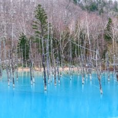
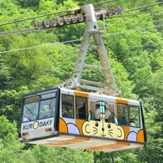
The region is accessible by train and bus, connecting the main cities and smaller towns and allowing visitors to explore different areas. The best time to visit is between July and September, when the weather is milder and activities are more easily accessible.
During winter months, drift ice blocks from the Amur River float to the Okhotsk coast, which visitors can experience on specialized icebreaker vessels. This natural occurrence creates seasonal opportunities for diving beneath the ice and other winter water activities.
The community of curious travelers
AroundUs brings together thousands of curated places, local tips, and hidden gems, enriched daily by 60,000 contributors worldwide.